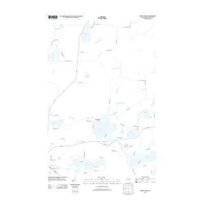
2013 Map of Moen Lake
USGS Topo · Published 2013About this map
Roosevelt sits at the heart of this lake-strewn landscape in Oneida County, positioned near the northern shore of Moen Lake. This 2013 topographic survey details a complex hydrologic network where the North Branch Pelican River connects a chain of water bodies including Sunset Lake and Snowden Lake. The settlement pattern is defined by residential lakeside development, visible along routes like Moens Lake Dr and Lake Shore Dr, reflecting the area's transition from timber-era wilderness to a modern recreation and residential hub near Rhinelander.
Find a feature on this map
78 named features on this map. Tap any name to fly to it.
Don’t see what you’re looking for? This feature index may not catch every label — zoom into the map to look around manually.
Map Details
Editions of this 2013 Moen Lake Map
This is the sole edition of this map. No revisions or reprints were ever made.
Other maps of this area

1928 · Three Lakes
USGS Topo · 1:48,000

1930 · Robbins
USGS Topo · 1:48,000

1938 · Three Lakes
USGS Topo · 1:48,000

1938 · Robbins
USGS Topo · 1:48,000

1940 · Monico
USGS Topo · 1:48,000

1940 · Rhinelander
USGS Topo · 1:48,000

1945 · Three Lakes
USGS Topo · 1:48,000

1945 · Robbins
USGS Topo · 1:48,000

1949 · Rhinelander
USGS Topo · 1:48,000

1950 · Monico
USGS Topo · 1:48,000