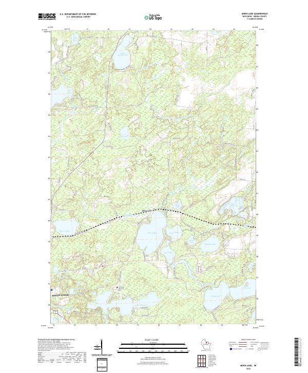
2022 Map of Moen Lake
USGS Topo · Published 2022About this map
Rhinelander and the small community of Roosevelt anchor this topographic view of the glacial lake country in Oneida County. The landscape is defined by an intricate network of connected waterways, most notably the Moen Lake Chain including Moen Lake, Second Lake, Third Lake, Fourth Lake, and Fifth Lake. These waters are linked by the North Branch Pelican River, which meanders through the southern portion of the quadrangle.
Find a feature on this map
88 named features on this map. Tap any name to fly to it.
Don’t see what you’re looking for? This feature index may not catch every label — zoom into the map to look around manually.
Map Details
Editions of this 2022 Moen Lake Map
This is the sole edition of this map. No revisions or reprints were ever made.
Other maps of this area

1928 · Three Lakes
USGS Topo · 1:48,000

1930 · Robbins
USGS Topo · 1:48,000

1938 · Three Lakes
USGS Topo · 1:48,000

1938 · Robbins
USGS Topo · 1:48,000

1940 · Monico
USGS Topo · 1:48,000

1940 · Rhinelander
USGS Topo · 1:48,000

1945 · Three Lakes
USGS Topo · 1:48,000

1945 · Robbins
USGS Topo · 1:48,000

1949 · Rhinelander
USGS Topo · 1:48,000

1950 · Monico
USGS Topo · 1:48,000