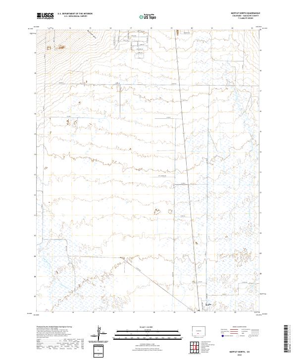
2022 Map of Moffat North
USGS Topo · Published 2022About this map
Moffat anchors the southern portion of this Saguache County landscape, where the grid of the town site meets the vast hydrological networks of the San Luis Valley. The terrain is defined by the convergence of Saguache Cr and its northern branch, N Br Saguache Cr, as they meander toward the extensive wetlands and the course of San Luis Cr to the east. To the north, the topographic relief is marked by Big Hollow Gulch, while the local road network reveals family names and residential footprints through labels like Eva K Dr, Betty Lee Dr, and Nakashima Dr. This 2022 survey illustrates the modern intersection of historic ranching routes, such as Kit Carson Rd, with the persistent watercourses that have dictated settlement patterns in this part of Colorado for generations.
Find a feature on this map
39 named features on this map. Tap any name to fly to it.
Don’t see what you’re looking for? This feature index may not catch every label — zoom into the map to look around manually.
Map Details
Editions of this 2022 Moffat North Map
This is the sole edition of this map. No revisions or reprints were ever made.
Other maps of this area

1915 · Del Norte
USGS Topo · 1:125,000

1917 · Del Norte
USGS Topo · 1:125,000

1945 · Durango
USGS Topo · 1:250,000

1950 · Valley View Hot Springs
USGS Topo · 1:24,000

1953 · Durango
USGS Topo · 1:250,000

1954 · Durango
USGS Topo · 1:250,000

1954 · Trinidad
USGS Topo · 1:250,000

1954 · Pueblo
USGS Topo · 1:250,000

1955 · Trinidad
USGS Topo · 1:250,000

1956 · Montrose
USGS Topo · 1:250,000