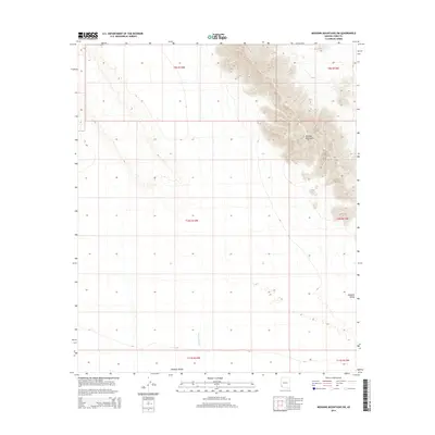
2014 Map of Mohawk Mountains SW
USGS Topo · Published 2014About this map
Mohawk Mountains dominate the northeastern portion of this topographic survey, rising sharply from the basin floor in the Sonoran Desert. The landscape is defined by the stark transition between the steep, rocky slopes of the range and the broad, alluvial expanse of the Mohawk Valley to the west. This 2014 document captures the drainage patterns of the arid region, specifically the course of the Mohawk Wash as it trends northward through the valley. The map is primarily characterized by its remote desert terrain, illustrating the complex network of ephemeral stream beds that shape the desert pavement and bajadas. The Public Land Survey System grid is meticulously overlaid across the townships, providing a foundational reference for the sparsely populated territory in Yuma County.
Find a feature on this map
9 named features on this map. Tap any name to fly to it.
Don’t see what you’re looking for? This feature index may not catch every label — zoom into the map to look around manually.
Map Details
Editions of this 2014 Mohawk Mountains SW Map
This is the sole edition of this map. No revisions or reprints were ever made.
Other maps of this area

1926 · Mohawk
USGS Topo · 1:62,500

1927 · Kim
USGS Topo · 1:62,500

1928 · Mohawk
USGS Topo · 1:62,500

1931 · Kim
USGS Topo · 1:62,500

1953 · Ajo
USGS Topo · 1:250,000

1957 · Ajo
USGS Topo · 1:250,000

1958 · Ajo
USGS Topo · 1:250,000

1962 · Ajo
USGS Topo · 1:250,000

1963 · Ajo
USGS Topo · 1:250,000

1965 · Cabeza Prieta Peak
USGS Topo · 1:62,500