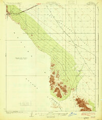
1931 Map of Kim
USGS Topo · Published 1931About this map
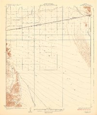
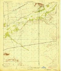
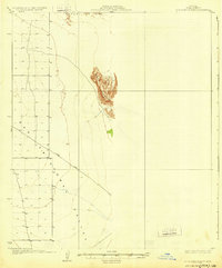
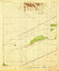
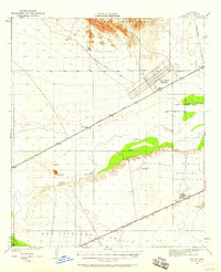
Southern Pacific tracks cut across the northern reaches of this desert landscape, establishing a vital transit corridor through the Mohawk Valley. The small settlement of Kim serves as a lonely outpost along the rails, situated just east of the Mohawk Pass. This 1931 edition reflects a time when survival in the arid Southwest depended on scattered water sources like Pimoria Well, Garcia Well, and White Well, which provided essential stopping points for travelers moving between the Mohawk Mountains and the San Cristobal Valley.
Find a feature on this map
13 named features on this map. Tap any name to fly to it.
Don’t see what you’re looking for? This feature index may not catch every label — zoom into the map to look around manually.
Map Details
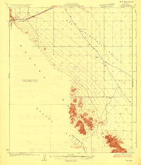
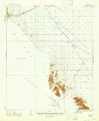
Editions of this 1931 Kim Map
3 editions found
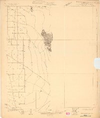
Other maps of this area

1926 · Mohawk
USGS Topo · 1:62,500
1927 · Aguila Mountains
USGS Topo · 1:48,000

1927 · Kim
USGS Topo · 1:62,500
1928 · Mohawk
USGS Topo · 1:62,500

1928 · Norton
USGS Topo · 1:62,500
1929 · Aztec
USGS Topo · 1:62,500

1929 · Norton
USGS Topo · 1:62,500
1930 · Aguila Mountains
USGS Topo · 1:62,500
1930 · Stoval
USGS Topo · 1:62,500
1950 · Stoval
USGS Topo · 1:62,500