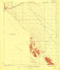
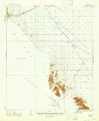
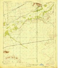
1931 Map of Kim
USGS Topo · Published 1931About this map
The Southern Pacific railroad cuts a straight line through the northern desert landscape of this 1927 survey, connecting the small settlement of Kim to the wider world. This era of Arizona's history is defined by the vital importance of water access for travelers and livestock, illustrated here by isolated landmarks like Pimoria Well, Garcia Well, and White Well. The map captures a transitional infrastructure, showing the Yuma - Gila Bend Road alongside older paths like the Yager Road and the Mohawk - Papago Well Road.
Find a feature on this map
14 named features on this map. Tap any name to fly to it.
Don’t see what you’re looking for? This feature index may not catch every label — zoom into the map to look around manually.
Map Details
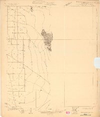
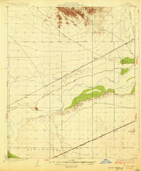
Editions of this 1931 Kim Map
3 editions found
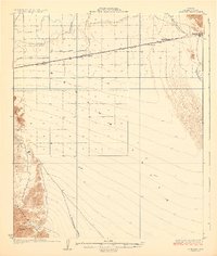
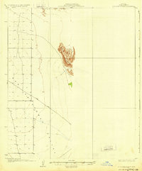
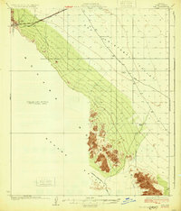
Other maps of this area

1926 · Mohawk
USGS Topo · 1:62,500
1927 · Aguila Mountains
USGS Topo · 1:48,000

1927 · Kim
USGS Topo · 1:62,500
1928 · Mohawk
USGS Topo · 1:62,500

1928 · Norton
USGS Topo · 1:62,500
1929 · Aztec
USGS Topo · 1:62,500

1929 · Norton
USGS Topo · 1:62,500
1930 · Aguila Mountains
USGS Topo · 1:62,500
1930 · Stoval
USGS Topo · 1:62,500
1931 · Kim
USGS Topo · 1:62,500