
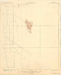
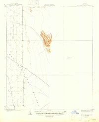
1930 Map of Aguila Mountains
USGS Topo · Published 1930About this map
The Aguila Mountains rise sharply as a concentrated topographic island in this 1927 survey, providing a stark vertical contrast to the surrounding arid lowlands. To the west and south, the San Cristobal Valley dominates the landscape, defined by a sparse network of section lines and the isolated path of the Yager Road. This area of Yuma County, surveyed under the administration of Governor Geo. W. P. Hunt and State Water Commissioner Frank P. Trott, reflects the expansive and undeveloped character of the desert southwest in the early twentieth century. The mapping of the Aztec Hills in the north further illustrates the transition from open valley floor to the broken, stony terrain typical of the region's scattered mountain ranges.
Find a feature on this map
4 named features on this map. Tap any name to fly to it.
Don’t see what you’re looking for? This feature index may not catch every label — zoom into the map to look around manually.
Map Details
Editions of this 1930 Aguila Mountains Map
3 editions found
Other maps of this area

1927 · Aguila Mountains
USGS Topo · 1:48,000

1927 · Kim
USGS Topo · 1:62,500

1929 · Aztec
USGS Topo · 1:62,500

1930 · Stoval
USGS Topo · 1:62,500

1931 · Kim
USGS Topo · 1:62,500

1949 · Sentinel
USGS Topo · 1:62,500

1950 · Sentinel
USGS Topo · 1:62,500

1950 · Stoval
USGS Topo · 1:62,500

1950 · Aztec
USGS Topo · 1:62,500

1953 · Ajo
USGS Topo · 1:250,000