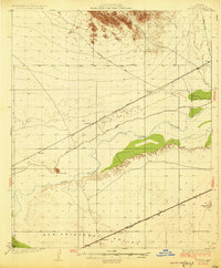
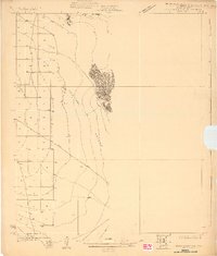
1930 Map of Stoval
USGS Topo · Published 1930About this map
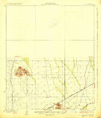
The Gila River winds through this desert landscape surveyed in 1927, creating a corridor of intermittent vegetation between the Palomas Mountains and the San Cristobal Valley. This section of Yuma County is defined by the vital transit routes of the early twentieth century, most notably the Southern Pacific Phoenix Yuma Line and the Southern Pacific Yuma Bend Line. These railroads anchored small settlements and transit points like Stoval, Kofa Sta, and Clampton Siding.
Find a feature on this map
17 named features on this map. Tap any name to fly to it.
Don’t see what you’re looking for? This feature index may not catch every label — zoom into the map to look around manually.
Map Details
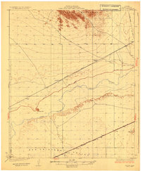
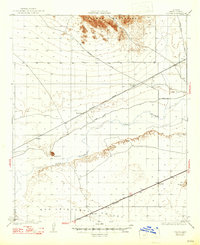
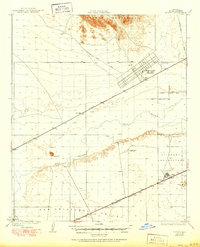
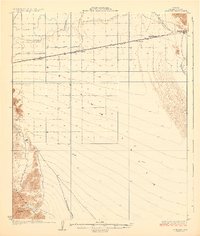
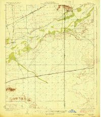
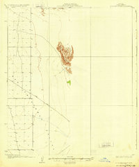
Editions of this 1930 Stoval Map
4 editions found
Other maps of this area

1926 · Mohawk
USGS Topo · 1:62,500
1927 · Aguila Mountains
USGS Topo · 1:48,000

1927 · Kim
USGS Topo · 1:62,500

1927 · Hyder
USGS Topo · 1:62,500
1928 · Mohawk
USGS Topo · 1:62,500

1928 · Norton
USGS Topo · 1:62,500
1929 · Aztec
USGS Topo · 1:62,500

1929 · Norton
USGS Topo · 1:62,500
1930 · Aguila Mountains
USGS Topo · 1:62,500
1930 · Hyder
USGS Topo · 1:62,500