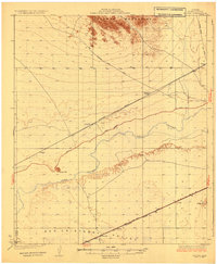
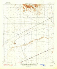
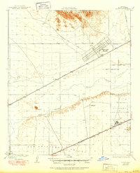
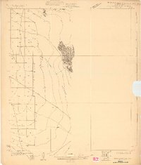
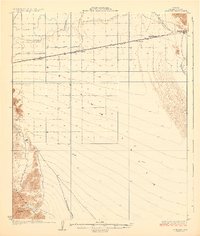
1930 Map of Stoval
USGS Topo · Published 1930About this map
The Gila River winds through this desert landscape, serving as a historic corridor for both natural drainage and human passage. In the late 1920s, the Southern Pacific railroad and a network of arterial desert tracks, such as the Phoenix Yuma Road and the Old Palomas Yuma Road, defined the region's connectivity. Small railroad-aligned points like Kofa Sta and Clampton Siding provided essential stops for water and freight in an otherwise sparse environment. To the south, the San Cristobal Valley sits between the river and the dramatic rise of the Palomas Mountains. The presence of small named locations like Burger, Texas Hill, and Stoval indicates the scattered ranching or mining outposts that relied on the river valley's geography during this era of early Arizona development.
Find a feature on this map
17 named features on this map. Tap any name to fly to it.
Don’t see what you’re looking for? This feature index may not catch every label — zoom into the map to look around manually.
Map Details
Editions of this 1930 Stoval Map
4 editions found
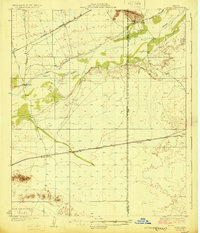
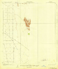
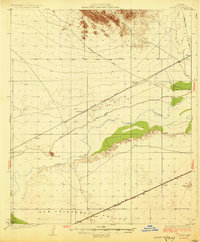
Other maps of this area

1926 · Mohawk
USGS Topo · 1:62,500
1927 · Aguila Mountains
USGS Topo · 1:48,000

1927 · Kim
USGS Topo · 1:62,500

1927 · Hyder
USGS Topo · 1:62,500
1928 · Mohawk
USGS Topo · 1:62,500

1928 · Norton
USGS Topo · 1:62,500
1929 · Aztec
USGS Topo · 1:62,500

1929 · Norton
USGS Topo · 1:62,500
1930 · Aguila Mountains
USGS Topo · 1:62,500
1930 · Stoval
USGS Topo · 1:62,500