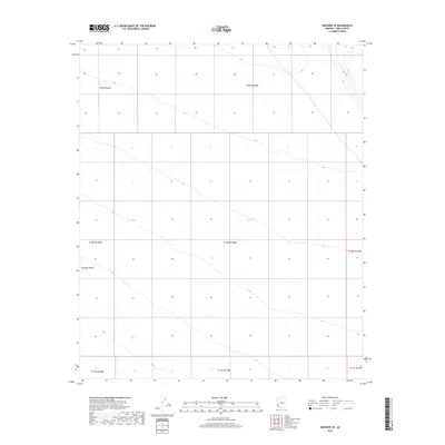
2018 Map of Mohawk SE
USGS Topo · Published 2018About this map
The Mohawk Valley landscape dominates this southwestern Arizona survey, captured in 2018 during a period of modern topographic documentation. The map reveals the stark desert geography of Yuma County, structured by the Public Land Survey System grids including t9s r16w, t10s r15w, and t11s r14w. While few human-named landmarks are present, the contour lines illustrate the subtle drainage patterns and arid basins characteristic of this region. This edition serves as a precise record of the natural terrain and section boundaries before further development or environmental shifts, providing a clear view of the valley's open space as it existed in the early 21st century.
Find a feature on this map
9 named features on this map. Tap any name to fly to it.
Don’t see what you’re looking for? This feature index may not catch every label — zoom into the map to look around manually.
Map Details
Editions of this 2018 Mohawk SE Map
This is the sole edition of this map. No revisions or reprints were ever made.
Other maps of this area

1926 · Mohawk
USGS Topo · 1:62,500

1927 · Kim
USGS Topo · 1:62,500

1928 · Mohawk
USGS Topo · 1:62,500

1931 · Kim
USGS Topo · 1:62,500

1953 · Ajo
USGS Topo · 1:250,000

1957 · Ajo
USGS Topo · 1:250,000

1958 · Ajo
USGS Topo · 1:250,000

1962 · Ajo
USGS Topo · 1:250,000

1963 · Ajo
USGS Topo · 1:250,000

1965 · Cabeza Prieta Peak
USGS Topo · 1:62,500