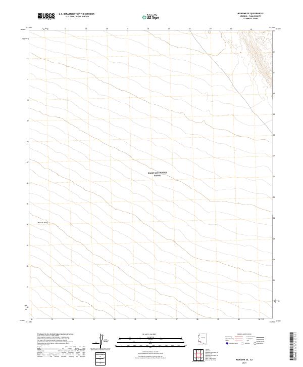
2021 Map of Mohawk SE
USGS Topo · Published 2021About this map
Mohawk Valley defines the core of this landscape, located within the arid expanse of Yuma County. This modern 2021 study by the U.S. Geological Survey details the intricate Public Land Survey System grid that organizes the desert floor. The map is primarily characterized by its vast alluvial fan patterns and gradual elevation changes through several townships, including t10s r15w and t11s r15w. While devoid of contemporary urban development, the sheet provides an essential topographical baseline for understanding the natural drainage and land division of this remote Arizona basin.
Find a feature on this map
9 named features on this map. Tap any name to fly to it.
Don’t see what you’re looking for? This feature index may not catch every label — zoom into the map to look around manually.
Map Details
Editions of this 2021 Mohawk SE Map
This is the sole edition of this map. No revisions or reprints were ever made.
Other maps of this area

1926 · Mohawk
USGS Topo · 1:62,500

1927 · Kim
USGS Topo · 1:62,500

1928 · Mohawk
USGS Topo · 1:62,500

1931 · Kim
USGS Topo · 1:62,500

1953 · Ajo
USGS Topo · 1:250,000

1957 · Ajo
USGS Topo · 1:250,000

1958 · Ajo
USGS Topo · 1:250,000

1962 · Ajo
USGS Topo · 1:250,000

1963 · Ajo
USGS Topo · 1:250,000

1965 · Cabeza Prieta Peak
USGS Topo · 1:62,500