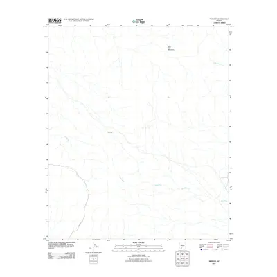
2011 Map of Moivayi
USGS Topo · Published 2011About this map
Moivayi occupies a quiet central position in this arid Sonoran landscape, defined by an intricate network of seasonal drainage channels that shape the local geography. The settlement is linked to the surrounding area by Indian Rte 13, which traverses the southern portion of the territory. This 2011 survey captures a region where water management and topography are deeply intertwined, as seen in the prominent Sano Tank Mountains to the northeast. These mountains oversee several major ephemeral watercourses, including Sauceda Wash in the west, Kohatk Wash in the east, and the meandering Kaka Wash that cuts through the center of the sheet. The spatial relationship between these features reflects a landscape where travel and habitation are dictated by the natural flow of the desert washes and the reach of local mountain ranges.
Find a feature on this map
6 named features on this map. Tap any name to fly to it.
Don’t see what you’re looking for? This feature index may not catch every label — zoom into the map to look around manually.
Map Details
Editions of this 2011 Moivayi Map
This is the sole edition of this map. No revisions or reprints were ever made.
Other maps of this area

1953 · Ajo
USGS Topo · 1:250,000

1957 · Ajo
USGS Topo · 1:250,000

1958 · Ajo
USGS Topo · 1:250,000

1958 · Kaka
USGS Topo · 1:62,500

1958 · Hat Mountain
USGS Topo · 1:62,500

1962 · Ajo
USGS Topo · 1:250,000

1963 · Ajo
USGS Topo · 1:250,000

1963 · Sikort Chuapo Mts
USGS Topo · 1:62,500

1963 · Cimarron Peak
USGS Topo · 1:62,500

1967 · Ajo
USGS Topo · 1:250,000