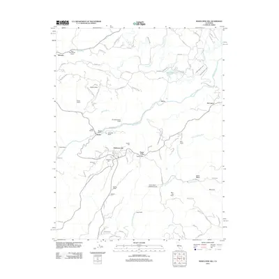
2012 Map of Mokelumne Hill
USGS Topo · Published 2012About this map
Mokelumne Hill serves as a central anchor for this part of the Sierra Nevada foothills, where the landscape is defined by deep gulches and the winding courses of the Mokelumne River and the N Fork Calaveras River. The settlement pattern reflects long-standing agricultural and mining legacies, evident in named locations such as Guffra Ranch, McSorley Ranch, and Lombardi Ranch. A sophisticated network of water management features, including the Amador Canal, the Calaveras Public Utility Ditch, and Lake Tabeaud, highlights the region's historical reliance on diverted water for local industry and utilities.
Find a feature on this map
89 named features on this map. Tap any name to fly to it.
Don’t see what you’re looking for? This feature index may not catch every label — zoom into the map to look around manually.
Map Details
Editions of this 2012 Mokelumne Hill Map
This is the sole edition of this map. No revisions or reprints were ever made.
Other maps of this area

1889 · Jackson
USGS Topo · 1:125,000

1892 · Jackson
USGS Topo · 1:125,000

1897 · Jackson
USGS Topo · 1:125,000

1902 · Jackson
USGS Topo · 1:125,000

1941 · Sutter Creek
USGS Topo · 1:62,500

1944 · Valley Springs
USGS Topo · 1:62,500

1944 · Sutter Creek
USGS Topo · 1:62,500

1945 · San Andreas
USGS Topo · 1:62,500

1947 · San Andreas
USGS Topo · 1:62,500

1947 · Sacramento
USGS Topo · 1:250,000