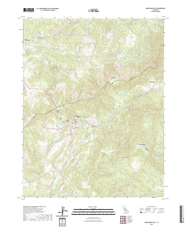
2022 Map of Mokelumne Hill
USGS Topo · Published 2022About this map
Mokelumne Hill serves as the focal point of this Gold Country landscape, situated where the Mokelumne River carves a deep boundary between Amador and Calaveras counties. The town's long-standing community roots are evident in its clustered burial grounds, including the Pioneer Jewish Cem, the Mokelumne Hill Protestant Cem, and the Saint Thomas Aquinas Cem. To the east, the settlement of Jesus Maria remains centered around its own Jesus Maria Cem, while the hamlet of Electra sits along the river's edge.
Find a feature on this map
108 named features on this map. Tap any name to fly to it.
Don’t see what you’re looking for? This feature index may not catch every label — zoom into the map to look around manually.
Map Details
Editions of this 2022 Mokelumne Hill Map
This is the sole edition of this map. No revisions or reprints were ever made.
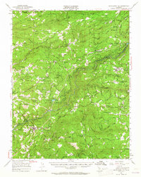
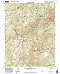
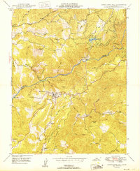
Historical Maps of Jackson Through Time
4 maps found