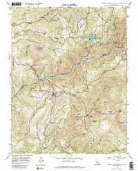
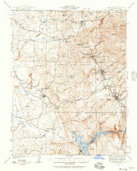
1948 Map of Mokelumne Hill
USGS Topo · Published 1985About this map
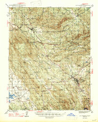
Mokelumne Hill and the steep canyon of the Mokelumne River define this post-war survey of the California Gold Country. The landscape remains heavily marked by mid-century industrial water and power infrastructure, including the Electra Powerhouse, the Amador Canal, and several intricate flumes and siphons serving Lake Tabeaud. This complex network of water management reflects the region's evolution from gold mining toward hydroelectric production.
Find a feature on this map
40 named features on this map. Tap any name to fly to it.
Don’t see what you’re looking for? This feature index may not catch every label — zoom into the map to look around manually.
Map Details
Editions of this 1948 Mokelumne Hill Map
4 editions found
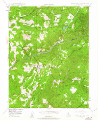
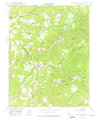
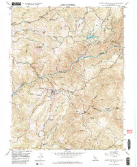
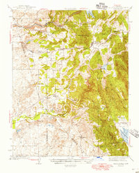
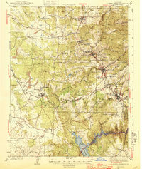
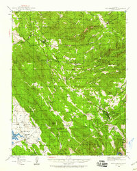
Other maps of this area

1889 · Jackson
USGS Topo · 1:125,000

1892 · Jackson
USGS Topo · 1:125,000

1897 · Jackson
USGS Topo · 1:125,000

1902 · Jackson
USGS Topo · 1:125,000
1941 · Sutter Creek
USGS Topo · 1:62,500
1944 · Valley Springs
USGS Topo · 1:62,500
1944 · Sutter Creek
USGS Topo · 1:62,500
1945 · San Andreas
USGS Topo · 1:62,500
1947 · San Andreas
USGS Topo · 1:62,500

1947 · Sacramento
USGS Topo · 1:250,000