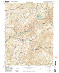
1948 Map of Mokelumne Hill
USGS Topo · Published 1985About this map
The Mokelumne River carves a deep path through the Mother Lode in this late-1940s survey, marking the boundary between Amador and Calaveras counties. Centered on the historic settlement of Mokelumne Hill, the landscape reveals a complex network of gold-rush era infrastructure and later hydroelectric development. Notable landmarks include the powerhouse along Electra Road and the water systems of Lake Tabeaud and associated flumes.
Find a feature on this map
41 named features on this map. Tap any name to fly to it.
Don’t see what you’re looking for? This feature index may not catch every label — zoom into the map to look around manually.
Map Details
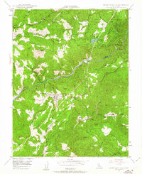
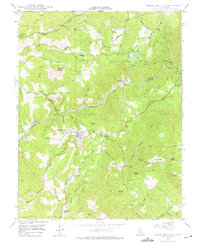
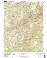
Editions of this 1948 Mokelumne Hill Map
4 editions found
Other maps of this area

1889 · Jackson
USGS Topo · 1:125,000

1892 · Jackson
USGS Topo · 1:125,000

1897 · Jackson
USGS Topo · 1:125,000

1902 · Jackson
USGS Topo · 1:125,000

1941 · Sutter Creek
USGS Topo · 1:62,500

1944 · Valley Springs
USGS Topo · 1:62,500

1944 · Sutter Creek
USGS Topo · 1:62,500

1945 · San Andreas
USGS Topo · 1:62,500

1947 · San Andreas
USGS Topo · 1:62,500

1947 · Sacramento
USGS Topo · 1:250,000