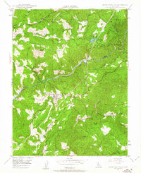
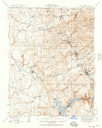
1948 Map of Mokelumne Hill
USGS Topo · Published 1963About this map
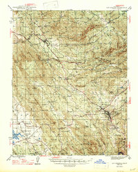
The Mokelumne River carves a deep boundary between Amador and Calaveras Counties, defining a landscape shaped by both Gold Rush history and mid-century hydroelectric development. By the late 1940s, the region retained many of its earlier footprints, including the (Butte City) Ruins and the Middle Bar (Site) near the Pardee Res. The upland terrain is dotted with family-named holdings such as the Lombardi Ranch and Guffra Ranch, reflecting the enduring agricultural and ranching roots of the area surrounding Mokelumne Hill.
Find a feature on this map
45 named features on this map. Tap any name to fly to it.
Don’t see what you’re looking for? This feature index may not catch every label — zoom into the map to look around manually.
Map Details
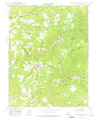
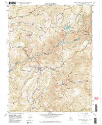
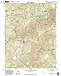
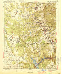
Editions of this 1948 Mokelumne Hill Map
4 editions found
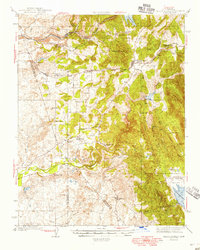
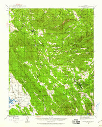
Other maps of this area

1889 · Jackson
USGS Topo · 1:125,000

1892 · Jackson
USGS Topo · 1:125,000

1897 · Jackson
USGS Topo · 1:125,000

1902 · Jackson
USGS Topo · 1:125,000
1941 · Sutter Creek
USGS Topo · 1:62,500
1944 · Valley Springs
USGS Topo · 1:62,500
1944 · Sutter Creek
USGS Topo · 1:62,500
1945 · San Andreas
USGS Topo · 1:62,500
1947 · San Andreas
USGS Topo · 1:62,500

1947 · Sacramento
USGS Topo · 1:250,000