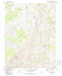
1979 Map of Mokelumne Peak
USGS Topo · Published 1986About this map
Plasse Trading Post (Site) stands as a historic marker near the northern border of this high-country terrain, situated just below Bear River Ridge. The landscape is a high-altitude intersection of the Eldorado National Forest, Stanislaus National Forest, and the Mokelumne Wilderness. Water dominates the geography, with the North Fork Mokelumne River carving a deep path through Fourth of July Canyon and Horse Canyon.
Find a feature on this map
51 named features on this map. Tap any name to fly to it.
Don’t see what you’re looking for? This feature index may not catch every label — zoom into the map to look around manually.
Map Details
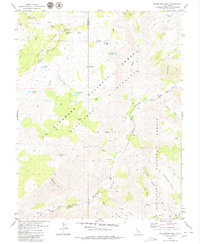
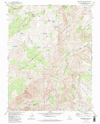
Editions of this 1979 Mokelumne Peak Map
3 editions found
Other maps of this area

1889 · Pyramid Peak
USGS Topo · 1:125,000

1889 · Markleeville
USGS Topo · 1:125,000

1891 · Markleeville
USGS Topo · 1:125,000

1891 · Big Trees
USGS Topo · 1:125,000

1891 · Pyramid Peak
USGS Topo · 1:125,000

1893 · Markleeville
USGS Topo · 1:125,000

1894 · Big Trees
USGS Topo · 1:125,000

1895 · Pyramid Peak
USGS Topo · 1:125,000

1896 · Dardanelles
USGS Topo · 1:125,000

1896 · Pyramid Peak
USGS Topo · 1:125,000