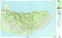
1983 Map of Molokai East
USGS Topo · Published 1984About this map
Kalaupapa Peninsula defines the northwestern corner of this eastern Molokai landscape, home to the historic Kalaupapa settlement and the Molokai Lighthouse. The terrain is characterized by steep northern sea cliffs, where the Molokai Forest Reserve transitions into deep valleys carved by the Wailau Stream and Pelekunu Stream. Significant waterfalls including Kahiwa Falls and Moaula Falls mark the interior drainage heading toward the Pacific Ocean.
Find a feature on this map
80 named features on this map. Tap any name to fly to it.
Don’t see what you’re looking for? This feature index may not catch every label — zoom into the map to look around manually.
Map Details
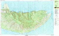
Editions of this 1983 Molokai East Map
2 editions found
Other maps of this area

1952 · Halawa
USGS Topo · 1:24,000

1952 · Kamalo
USGS Topo · 1:24,000

1952 · Kaunakakai
USGS Topo · 1:24,000

1954 · Maui
USGS Topo · 1:250,000

1956 · Honolua
USGS Topo · 1:24,000

1966 · Maui
USGS Topo · 1:250,000

1967 · Kaunakakai
USGS Topo · 1:24,000

1968 · Halawa
USGS Topo · 1:24,000
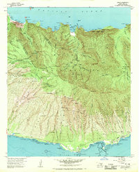
1968 · Kamalo
USGS Topo · 1:24,000

1974 · Maui
USGS Topo · 1:250,000