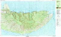
1983 Map of Molokai East
USGS Topo · Published 1983About this map
Kalaupapa Peninsula dominates the northern coast of this survey, home to the Kalaupapa Settlement and the Molokai Lighthouse. This 1983 edition details a landscape defined by dramatic elevation changes, where the high interior of the Molokai Forest Reserve drops into steep valleys and coastal points like Lamaloa Head and Cape Halawa. Along the southern coast, a dense concentration of traditional Hawaiian aquaculture is evident, featuring numerous named sites such as the Ualapue Fishpond, Kanoa Fishpond, and Pahiomu Fishpond. These features reflect a long history of maritime resource management stretching between Kawela and Pukoo. The map also captures the isolation of the northern windward valleys, including the Pelekunu (Site) and the high Papalaua Falls, which remain disconnected from the primary road network like the Maunahui Road.
Find a feature on this map
96 named features on this map. Tap any name to fly to it.
Don’t see what you’re looking for? This feature index may not catch every label — zoom into the map to look around manually.
Map Details
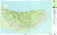
Editions of this 1983 Molokai East Map
2 editions found
Other maps of this area

1952 · Halawa
USGS Topo · 1:24,000

1952 · Kamalo
USGS Topo · 1:24,000

1952 · Kaunakakai
USGS Topo · 1:24,000

1954 · Maui
USGS Topo · 1:250,000

1956 · Honolua
USGS Topo · 1:24,000

1966 · Maui
USGS Topo · 1:250,000

1967 · Kaunakakai
USGS Topo · 1:24,000

1968 · Halawa
USGS Topo · 1:24,000
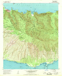
1968 · Kamalo
USGS Topo · 1:24,000

1974 · Maui
USGS Topo · 1:250,000