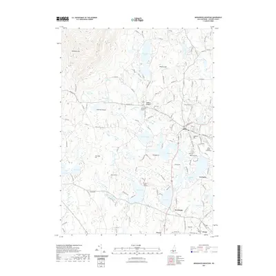
2021 Map of Monadnock Mountain
USGS Topo · Published 2021About this map
Monadnock Mtn dominates the northwest corner of this Cheshire County landscape, casting a long shadow over a region defined by its glacial lakes and deep-rooted New Hampshire history. In the village of Jaffrey Center, the Old Center Cem and the Hannah Davis-Amos Fortune Graves provide a direct link to the town’s early inhabitants and local legacies. To the south, the presence of Franklin Pierce University near Pearly Lake introduces a modern institutional anchor to an otherwise residential and woodland mosaic.
Find a feature on this map
139 named features on this map. Tap any name to fly to it.
Don’t see what you’re looking for? This feature index may not catch every label — zoom into the map to look around manually.
Map Details
Editions of this 2021 Monadnock Mountain Map
This is the sole edition of this map. No revisions or reprints were ever made.
Other maps of this area

1887 · Winchendon
USGS Topo · 1:62,500

1887 · Fitchburg
USGS Topo · 1:62,500

1889 · Fitchburg
USGS Topo · 1:62,500

1890 · Winchendon
USGS Topo · 1:62,500

1893 · Fitchburg
USGS Topo · 1:62,500

1894 · Winchendon
USGS Topo · 1:62,500

1898 · Monadnock
USGS Topo · 1:62,500

1900 · Peterboro
USGS Topo · 1:62,500

1931 · Fitchburg
USGS Topo · 1:48,000

1932 · Winchendon
USGS Topo · 1:48,000