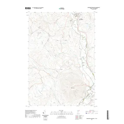
2021 Map of Monadnock Mountain
USGS Topo · Published 2021About this map
The Connecticut River serves as the winding boundary between New Hampshire and Vermont in this borderland survey. Along its banks, the community of West Stewartstown is visible near the top of the sheet, while the significant elevation of Monadnock Mtn dominates the central topography. This area is characterized by numerous small drainage systems, including Willard Stream, Capon Brook, and Keyer Brook, which carve through a landscape of high ridges like Van Dyke Mtn and Todd Hill.
Find a feature on this map
68 named features on this map. Tap any name to fly to it.
Don’t see what you’re looking for? This feature index may not catch every label — zoom into the map to look around manually.
Map Details
Editions of this 2021 Monadnock Mountain Map
This is the sole edition of this map. No revisions or reprints were ever made.
Other maps of this area

1925 · Indian Stream
USGS Topo · 1:48,000

1926 · Indian Stream
USGS Topo · 1:62,500

1927 · Indian Stream
USGS Topo · 1:62,500

1929 · Averill
USGS Topo · 1:62,500

1930 · Dixville
USGS Topo · 1:62,500

1933 · Dixville
USGS Topo · 1:62,500

1934 · Dixville
USGS Topo · 1:62,500

1949 · Jackman
USGS Topo · 1:250,000

1950 · Lewiston
USGS Topo · 1:250,000

1953 · Averill
USGS Topo · 1:62,500