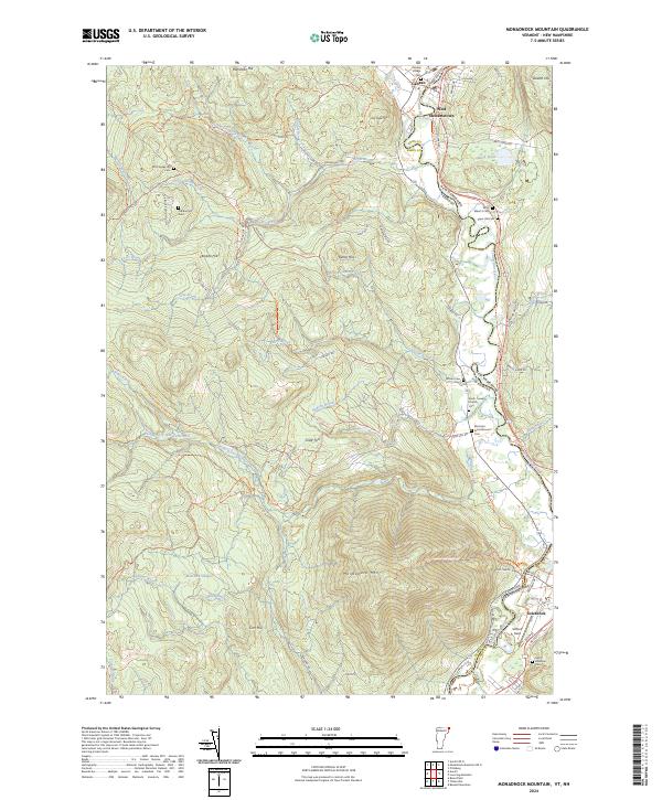
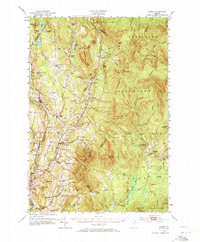
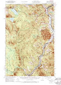
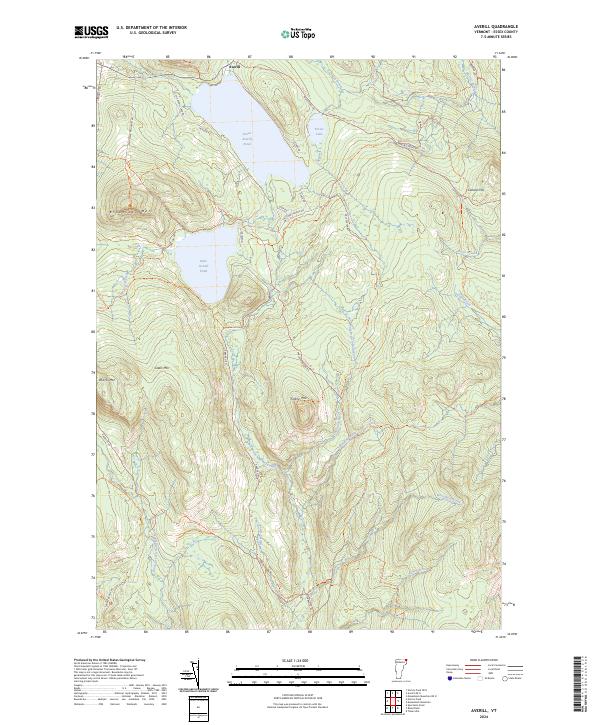
2024 Map of Monadnock Mountain
USGS Topo · Published 2024This historical map portrays the area of Monadnock Mountain in 2024, primarily covering Essex County as well as portions of New Hampshire. Featuring a scale of 1:24000, this map provides a highly detailed snapshot of the terrain, roads, buildings, counties, and historical landmarks in the Monadnock Mountain region at the time. Published in 2024, it is the sole known edition of this map.
Map Details
Editions of this 2024 Monadnock Mountain Map
This is the sole edition of this map. No revisions or reprints were ever made.
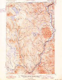
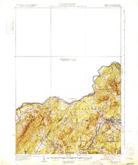
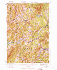
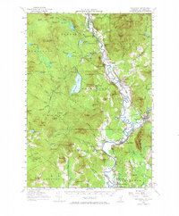
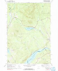
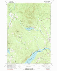
Historical Maps of Columbia Through Time
37 maps found

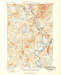
1920 Guildhall
Essex County, VT
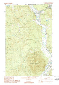
1929 Averill
Essex County, VT

1931 Guildhall
Essex County, VT
1931 Littleton
Essex County, VT
1932 Littleton
Essex County, VT
1933 Guildhall
Essex County, VT
1935 Littleton
Essex County, VT
1937 Guildhall
Essex County, VT
1951 Burke
Essex County, VT
1953 Averill
Essex County, VT
1956 Guildhall
Essex County, VT
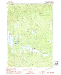
1967 Miles Pond
Essex County, VT
1968 Miles Pond
Essex County, VT
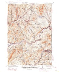
1978 Norton Port of Entry
Essex County, VT
1988 Bloomfield
Essex County, VT
1988 Gallup Mills
Essex County, VT
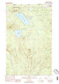
1988 Maidstone Lake
Essex County, VT
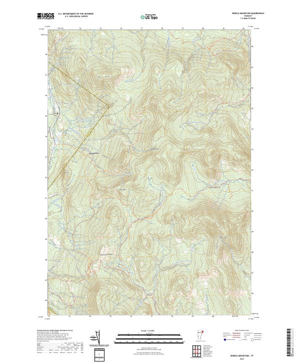
1988 Seneca Mountain
Essex County, VT
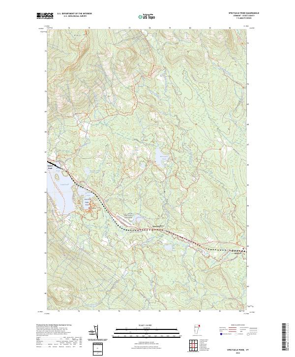
1988 Spectacle Pond
Essex County, VT
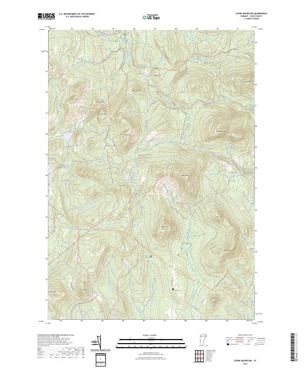
1988 Stone Mountain
Essex County, VT
1989 Averill
Essex County, VT
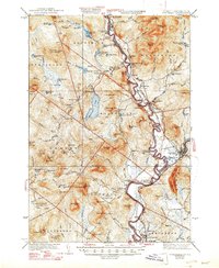
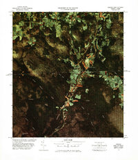
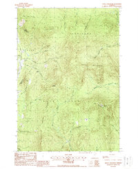
1989 Monadnock Mountain
Essex County, VT
1989 Norton Pond
Essex County, VT
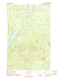
1995 Averill
Essex County, VT
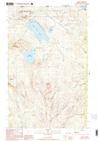
2024 Averill
Essex County, VT
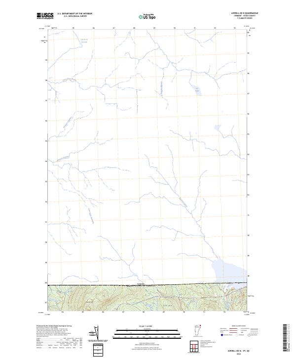
2024 Averill OE N
Essex County, VT
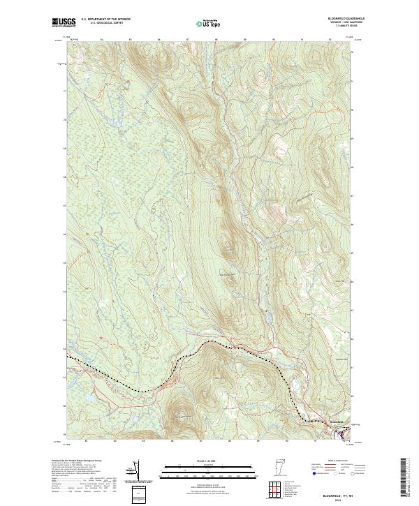
2024 Bloomfield
Essex County, VT
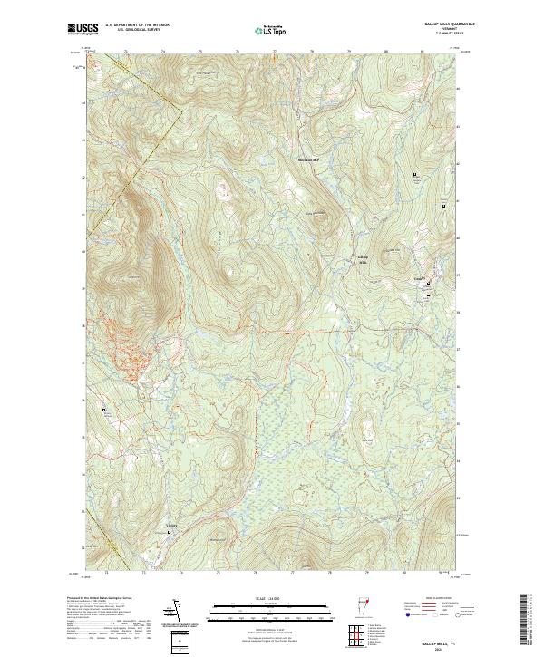
2024 Gallup Mills
Essex County, VT
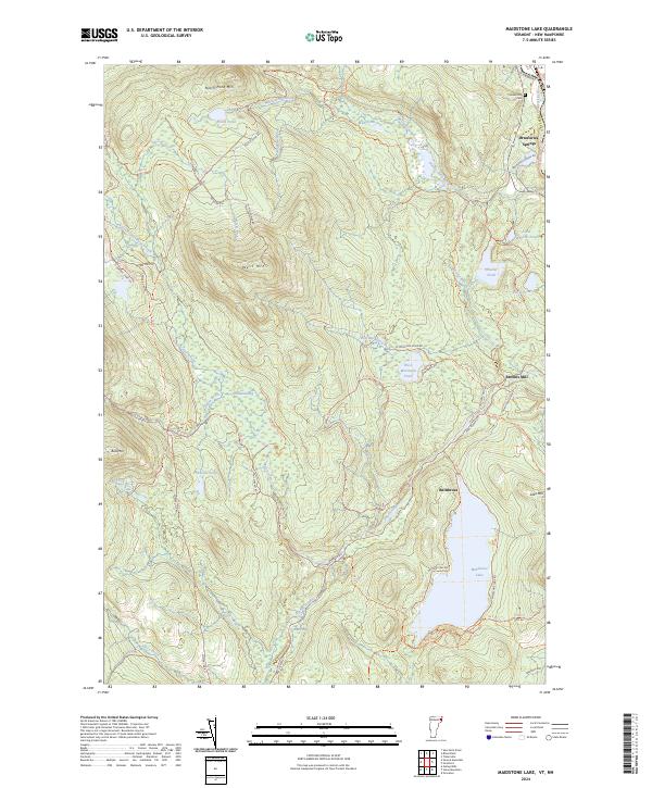
2024 Maidstone Lake
Essex County, VT
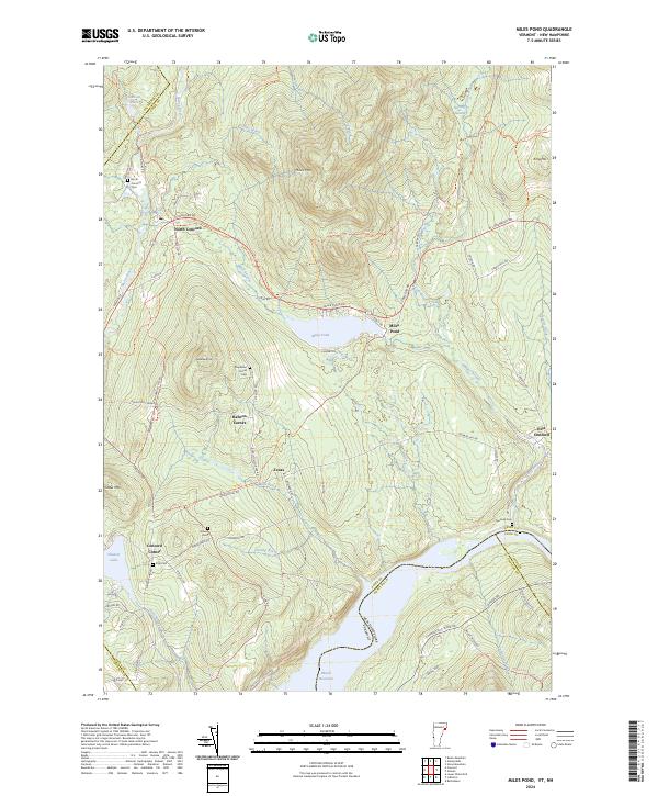
2024 Miles Pond
Essex County, VT
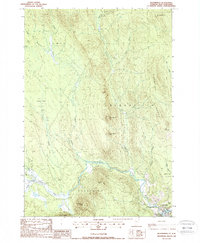
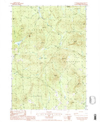
2024 Monadnock Mountain
Essex County, VT
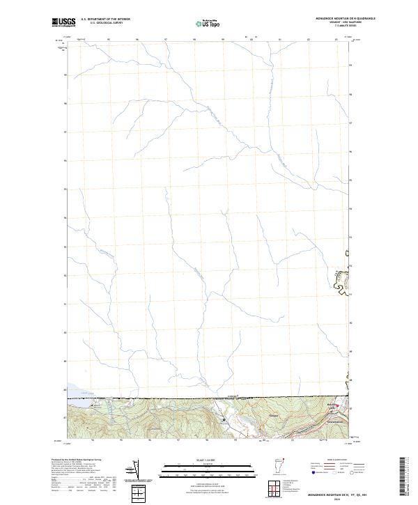
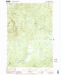
2024 Monadnock Mountain OE N
Essex County, VT
2024 Norton Pond
Essex County, VT
2024 Norton Pond OE N
Essex County, VT
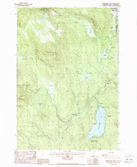
2024 Seneca Mountain
Essex County, VT
2024 Spectacle Pond
Essex County, VT
2024 Stone Mountain
Essex County, VT