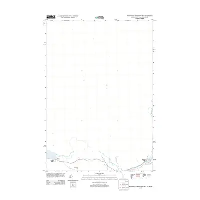
2012 Map of Monadnock Mountain OE N
USGS Topo · Published 2012About this map
Stewartstown and the community of Beecher Falls anchor the southern boundary of this remote northern landscape where New Hampshire meets Vermont and Canada. The terrain is defined by water and wood, with the significant expanse of Wallace Pond sitting west of Harriman Hill. Small, localized burial sites like Alice Hunt Cem and Wallace Pond Cem offer genealogical value, documenting the families who settled along the meandering course of Leach Cr. The road network, including Hall Stream Rd and Judd Rd, reflects the rural character of this border region in the early 21st century, showing how modern infrastructure follows the natural topography of the river valleys and high ground.
Find a feature on this map
12 named features on this map. Tap any name to fly to it.
Don’t see what you’re looking for? This feature index may not catch every label — zoom into the map to look around manually.
Map Details
Editions of this 2012 Monadnock Mountain OE N Map
This is the sole edition of this map. No revisions or reprints were ever made.
Other maps of this area

1925 · Indian Stream
USGS Topo · 1:48,000

1926 · Indian Stream
USGS Topo · 1:62,500

1927 · Indian Stream
USGS Topo · 1:62,500

1929 · Averill
USGS Topo · 1:62,500

1930 · Dixville
USGS Topo · 1:62,500

1933 · Dixville
USGS Topo · 1:62,500

1934 · Dixville
USGS Topo · 1:62,500

1949 · Jackman
USGS Topo · 1:250,000

1950 · Lewiston
USGS Topo · 1:250,000

1953 · Averill
USGS Topo · 1:62,500