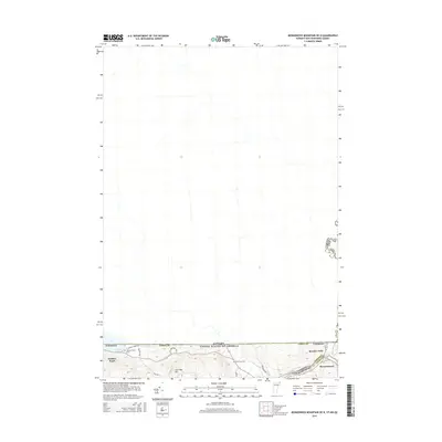
2015 Map of Monadnock Mountain OE N
USGS Topo · Published 2015About this map
Beecher Falls and Stewartstown sit at the southern edge of this map, documenting the convergence of the Connecticut River headwaters along the international border. In this northernmost reach of New England, the boundary between Vermont, New Hampshire, and Canada is defined by waterways like Leach Creek and Halls Stream. Local heritage is anchored by sites such as the Wallace Pond Cem and Alice Hunt Cem, which offer significant value for genealogists tracing family histories in the area. The topography rises toward Harriman Hill, illustrating the transition from the river valley settlements to the higher elevations of the Northeast Kingdom. This map provides a detailed view of the regional road network, including Jackson Lodge Rd and Reservoir Rd, which connect the scattered homesteads and recreational waters of Wallace Pond to the primary border crossings.
Find a feature on this map
21 named features on this map. Tap any name to fly to it.
Don’t see what you’re looking for? This feature index may not catch every label — zoom into the map to look around manually.
Map Details
Editions of this 2015 Monadnock Mountain OE N Map
This is the sole edition of this map. No revisions or reprints were ever made.
Other maps of this area

1925 · Indian Stream
USGS Topo · 1:48,000

1926 · Indian Stream
USGS Topo · 1:62,500

1927 · Indian Stream
USGS Topo · 1:62,500

1929 · Averill
USGS Topo · 1:62,500

1930 · Dixville
USGS Topo · 1:62,500

1933 · Dixville
USGS Topo · 1:62,500

1934 · Dixville
USGS Topo · 1:62,500

1949 · Jackman
USGS Topo · 1:250,000

1950 · Lewiston
USGS Topo · 1:250,000

1953 · Averill
USGS Topo · 1:62,500