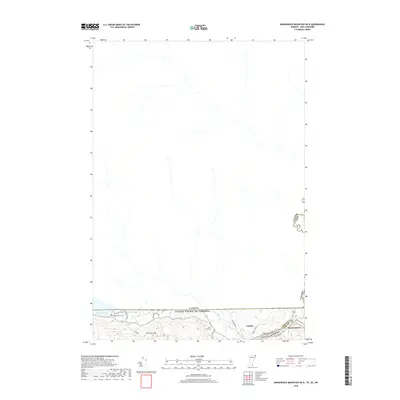
2018 Map of Monadnock Mountain OE N
USGS Topo · Published 2018About this map
Stewartstown and the village of Canaan sit at the southern edge of this international borderlands map, where the Connecticut River separates New Hampshire from Vermont. The landscape is defined by the sharp transition from the settled valley floor to the rising elevations of Harriman Hill. Most of the sheet spans the forested northern territory along the Canada-United States border, illustrating the remote character of the Upper Connecticut River valley. Local history is anchored by the Alice Hunt Cemetery and Wallace Pond Cemetery, providing primary points for genealogical research in this rural pocket of Coos County. Transportation relies on a small network of local connectors like Jackson Lodge Rd and the primary north-south artery US Rte 3, which runs parallel to the river and the international line near Beecher Falls.
Find a feature on this map
21 named features on this map. Tap any name to fly to it.
Don’t see what you’re looking for? This feature index may not catch every label — zoom into the map to look around manually.
Map Details
Editions of this 2018 Monadnock Mountain OE N Map
This is the sole edition of this map. No revisions or reprints were ever made.
Other maps of this area

1925 · Indian Stream
USGS Topo · 1:48,000

1926 · Indian Stream
USGS Topo · 1:62,500

1927 · Indian Stream
USGS Topo · 1:62,500

1929 · Averill
USGS Topo · 1:62,500

1930 · Dixville
USGS Topo · 1:62,500

1933 · Dixville
USGS Topo · 1:62,500

1934 · Dixville
USGS Topo · 1:62,500

1949 · Jackman
USGS Topo · 1:250,000

1950 · Lewiston
USGS Topo · 1:250,000

1953 · Averill
USGS Topo · 1:62,500