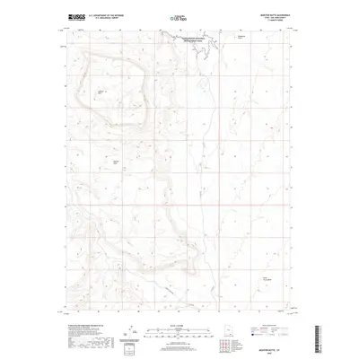
2020 Map of Monitor Butte
USGS Topo · Published 2020About this map
Monitor Butte and Monitor Mesa anchor this landscape in San Juan County, showcasing the stark topography typical of this region's high plateau. The northern boundary of the map follows the jagged shoreline of the Glen Canyon National Recreation Area, where the rising elevation creates deep canyons and drainages like Rockhouse Gulch. This modern survey illustrates how remote vehicle travel is facilitated through a limited network of unpaved routes, including Sjc Rd 423 and the winding Copper Canyon Rd. The drainage patterns are clearly defined by the long reach of Piute Farms Wash, providing an essential look at the hydrologic and geologic structure of this protected area.
Find a feature on this map
10 named features on this map. Tap any name to fly to it.
Don’t see what you’re looking for? This feature index may not catch every label — zoom into the map to look around manually.
Map Details
Editions of this 2020 Monitor Butte Map
This is the sole edition of this map. No revisions or reprints were ever made.
Other maps of this area

1886 · Henry Mountains
USGS Topo · 1:250,000

1892 · Henry Mountains
USGS Topo · 1:250,000

1952 · Clay Hills 3 SE
USGS Topo · 1:24,000

1952 · Clay Hills 3 SW
USGS Topo · 1:24,000

1952 · Clay Hills 3 NW
USGS Topo · 1:24,000

1952 · Navajo Mtn. 4 SE
USGS Topo · 1:24,000

1952 · Navajo Mountain 4 NE
USGS Topo · 1:24,000

1952 · Oljeto
USGS Topo · 1:62,500

1953 · Lake Canyon
USGS Topo · 1:62,500

1953 · No Mans Mesa
USGS Topo · 1:62,500