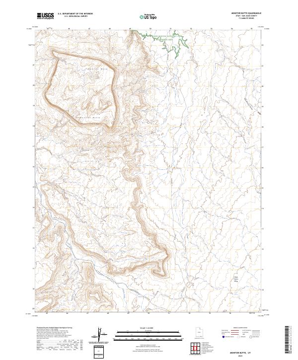
2023 Map of Monitor Butte
USGS Topo · Published 2023About this map
Monitor Butte and the broad plateau of Monitor Mesa dominate this high-desert landscape in the southeastern corner of Utah. The terrain is defined by deep incisions from drainage systems like Copper Canyon and Copper Creek in the west, while Piute Farms Wash and Rockhouse Gulch carve into the eastern reaches. A significant portion of the northern topography falls within the protected boundaries of the Glen Canyon National Recreation Area, reflecting a modern era of land management and conservation.
Find a feature on this map
11 named features on this map. Tap any name to fly to it.
Don’t see what you’re looking for? This feature index may not catch every label — zoom into the map to look around manually.
Map Details
Editions of this 2023 Monitor Butte Map
This is the sole edition of this map. No revisions or reprints were ever made.
Other maps of this area

1886 · Henry Mountains
USGS Topo · 1:250,000

1892 · Henry Mountains
USGS Topo · 1:250,000

1952 · Clay Hills 3 SE
USGS Topo · 1:24,000

1952 · Clay Hills 3 SW
USGS Topo · 1:24,000

1952 · Clay Hills 3 NW
USGS Topo · 1:24,000

1952 · Navajo Mtn. 4 SE
USGS Topo · 1:24,000

1952 · Navajo Mountain 4 NE
USGS Topo · 1:24,000

1952 · Oljeto
USGS Topo · 1:62,500

1953 · Lake Canyon
USGS Topo · 1:62,500

1953 · No Mans Mesa
USGS Topo · 1:62,500