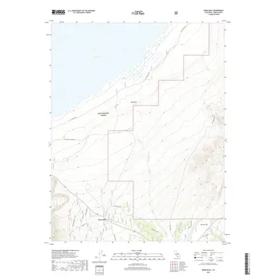
2018 Map of Mono Mills
USGS Topo · Published 2018About this map
Mono Mills sits at the southern reach of the Mono Basin, a landscape defined by the transition from the shore of Mono Lake to the rising elevations of the Inyo National Forest. This 2018 survey details a network of historical routes and logging-era remnants, including the trace of the Old Rail Road that once served the timber industry. The hydrology of the area is marked by seasonal and perennial features such as Simons Spring along the eastern lakeshore and Dry Cr winding through the alluvial terrain. High-altitude flats like Big Sand Flat are accessible via established forest routes including the Mc Pherson Grade and Pilot Springs. The map documents numerous specialized access roads like the Mono Mills Connection and the Mono Mills Loop, reflecting the ongoing management and recreational use of this part of Mono County.
Find a feature on this map
25 named features on this map. Tap any name to fly to it.
Don’t see what you’re looking for? This feature index may not catch every label — zoom into the map to look around manually.
Map Details
Editions of this 2018 Mono Mills Map
This is the sole edition of this map. No revisions or reprints were ever made.
Other maps of this area

1901 · Mt. Lyell
USGS Topo · 1:125,000

1909 · Hawthorne
USGS Topo · 1:250,000

1909 · Bridgeport
USGS Topo · 1:125,000

1911 · Bridgeport
USGS Topo · 1:125,000

1911 · Hawthorne
USGS Topo · 1:250,000

1914 · Mt. Morrison
USGS Topo · 1:125,000

1915 · Hawthorne
USGS Topo · 1:250,000

1920 · Bridgeport
USGS Topo · 1:125,000

1947 · Mariposa
USGS Topo · 1:250,000

1948 · Walker Lake
USGS Topo · 1:250,000