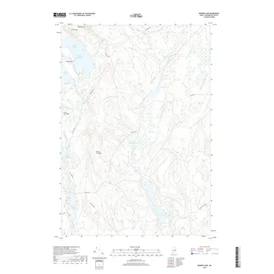
2018 Map of Monroe Lake
USGS Topo · Published 2018About this map
Third Machias Lake and its Eastern Arm dominate the northwest corner of this Washington County landscape, a territory defined by a complex network of waterways and glacial terrain. The Machias River drains south from these headwaters, flanked by elevations such as Getchel Mtn and Cherry Tree Ridge. The interior is characterized by a series of elongated ridges, including Second Lake Ridge, which separate various drainages like Monroe Brook and Lanpher Brook.
Find a feature on this map
37 named features on this map. Tap any name to fly to it.
Don’t see what you’re looking for? This feature index may not catch every label — zoom into the map to look around manually.
Map Details
Editions of this 2018 Monroe Lake Map
This is the sole edition of this map. No revisions or reprints were ever made.
Other maps of this area
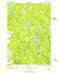
1941 · Wesley
USGS Topo · 1:62,500
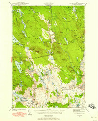
1941 · Tug Mountain
USGS Topo · 1:62,500
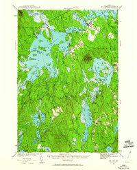
1941 · Big Lake
USGS Topo · 1:62,500
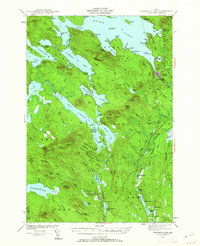
1941 · Wabassus Lake
USGS Topo · 1:62,500
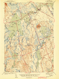
1943 · Big Lake
USGS Topo · 1:62,500
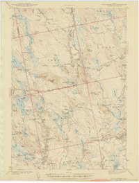
1943 · Tug Mountain
USGS Topo · 1:62,500
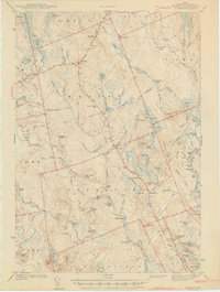
1943 · Wesley
USGS Topo · 1:62,500
1943 · Wabassus Lake
USGS Topo · 1:62,500
1952 · Big Lake
USGS Topo · 1:50,000
1953 · Wabassus Lake
USGS Topo · 1:62,500