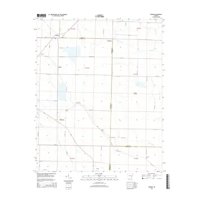
2014 Map of Monroe
USGS Topo · Published 2014About this map
The agricultural lowlands of the Mississippi Delta meet at the borders of Lee, Monroe, and Phillips counties in this detailed study. The settlement of Monroe and the smaller community of Buckhorn anchor the northern landscape, while Blackton and Smale mark the western agricultural corridors. The area is defined by a complex drainage system essential for the region's farming, including the winding paths of Piney Creek, Cypress Cr, and the extensive Warrior Bottom terrain.
Find a feature on this map
65 named features on this map. Tap any name to fly to it.
Don’t see what you’re looking for? This feature index may not catch every label — zoom into the map to look around manually.
Map Details
Editions of this 2014 Monroe Map
This is the sole edition of this map. No revisions or reprints were ever made.
Other maps of this area

1940 · Marvell
USGS Topo · 1:62,500

1940 · Holly Grove
USGS Topo · 1:62,500

1940 · Brinkley
USGS Topo · 1:62,500

1940 · Marianna
USGS Topo · 1:62,500

1948 · Helena
USGS Topo · 1:250,000

1950 · Helena
USGS Topo · 1:250,000

1955 · Helena
USGS Topo · 1:250,000

1956 · Marvell
USGS Topo · 1:62,500
1957 · Marianna
USGS Topo · 1:62,500

1957 · Holly Grove
USGS Topo · 1:62,500