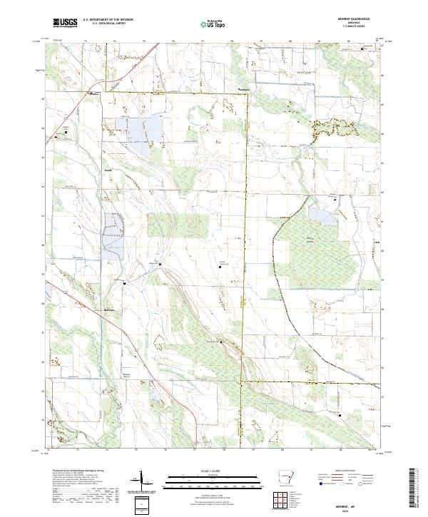
2024 Map of Monroe
USGS Topo · Published 2024About this map
Monroe and Blackton anchor this corner of the Arkansas Delta, where the landscape transitions between the agricultural plains of Monroe County and the dense bottomlands of Lee and Phillips counties. The area is defined by a complex hydrographic network, most notably Big Cypress Creek and its adjacent Cypress Swamp, which dominate the southern half of the quadrangle. These wetlands contrast with the structured section lines of the surrounding farmland, reflecting a long history of water management and land use.
Find a feature on this map
62 named features on this map. Tap any name to fly to it.
Don’t see what you’re looking for? This feature index may not catch every label — zoom into the map to look around manually.
Map Details
Editions of this 2024 Monroe Map
This is the sole edition of this map. No revisions or reprints were ever made.
Other maps of this area

1940 · Marvell
USGS Topo · 1:62,500

1940 · Holly Grove
USGS Topo · 1:62,500

1940 · Brinkley
USGS Topo · 1:62,500

1940 · Marianna
USGS Topo · 1:62,500

1948 · Helena
USGS Topo · 1:250,000

1950 · Helena
USGS Topo · 1:250,000

1955 · Helena
USGS Topo · 1:250,000

1956 · Marvell
USGS Topo · 1:62,500
1957 · Marianna
USGS Topo · 1:62,500

1957 · Holly Grove
USGS Topo · 1:62,500