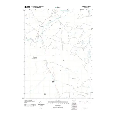
2010 Map of Monroeton
USGS Topo · Published 2010About this map
Monroeton and South Towanda anchor this landscape along the valley of Towanda Creek and its many tributaries. The area is defined by a dense network of country roads named for the families and geography of the region, including Franklin Rd, Fay Arnold Rd, and Bierne Hill Rd. Higher elevations are marked by prominent summits such as Hale Mountain, Robwood Mountain, and Kellogg Mountain, the latter featuring the Kellogg Mountain Lookout Tower. The settlement pattern follows the waterways, with Kellogg situated where the South Branch Towanda Creek winds through the hills. Genealogists will find notable sites such as Cole Cemetery and Kellogg Cemetery, while the northern edge of the map shows the transition into the Towanda Flats near the Susquehanna River and the Towanda Airport.
Find a feature on this map
69 named features on this map. Tap any name to fly to it.
Don’t see what you’re looking for? This feature index may not catch every label — zoom into the map to look around manually.
Map Details
Editions of this 2010 Monroeton Map
This is the sole edition of this map. No revisions or reprints were ever made.
Other maps of this area

1923 · Towanda
USGS Topo · 1:62,500

1926 · Towanda
USGS Topo · 1:62,500

1939 · Sayre
USGS Topo · 1:62,500

1942 · Sayre
USGS Topo · 1:62,500

1943 · Towanda
USGS Topo · 1:62,500

1943 · Monroeton
USGS Topo · 1:62,500

1943 · Powell
USGS Topo · 1:62,500

1945 · Powell
USGS Topo · 1:62,500

1948 · Sayre
USGS Topo · 1:62,500

1954 · Williamsport
USGS Topo · 1:250,000
Featured Places
- Wysox Township, PA
- Asylum Township, PA
- Towanda Township, PA
- South Branch, Monroe Township
- Albany Township, PA