
1948 Map of Sayre
USGS Topo · Published 1948About this map
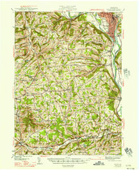
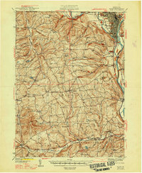
The Susquehanna River and Chemung River converge in a corridor of industrial and transit history near the Pennsylvania-New York boundary line. Surveyed in the late 1930s, this area is anchored by Sayre and Athens, which served as critical hubs for the Lehigh Valley railroad system. The map reveals the intricate network of the Esther Flats and the Queen River, alongside upland agricultural communities like East Smithfield and Ridgebury.
Find a feature on this map
97 named features on this map. Tap any name to fly to it.
Don’t see what you’re looking for? This feature index may not catch every label — zoom into the map to look around manually.
Map Details
Editions of this 1948 Sayre Map
3 editions found
Other maps of this area

1895 · Elmira
USGS Topo · 1:62,500

1902 · Waverly
USGS Topo · 1:62,500

1903 · Owego
USGS Topo · 1:62,500

1905 · Watkins Glen
USGS Topo · 1:125,000

1906 · Catatonk
USGS Topo · 1:125,000

1923 · Towanda
USGS Topo · 1:62,500

1926 · Towanda
USGS Topo · 1:62,500

1931 · Troy
USGS Topo · 1:48,000

1938 · Troy
USGS Topo · 1:62,500

1939 · Sayre
USGS Topo · 1:62,500