Loading...
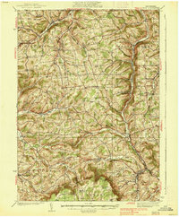
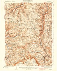
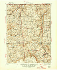
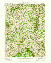
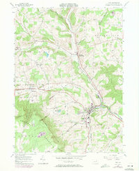
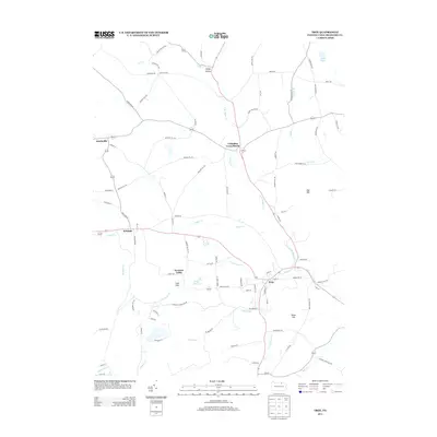
Loading map...1938 Map of Troy
USGS Topo · Published 1938About this map
Highland ridges and deep creek valleys define this rural landscape on the Pennsylvania New York Boundary Line just before World War II. The Pennsylvania railroad line serves as a central artery through the eastern portion of the map, connecting communities like Gillett, Snedekerville, and Columbia Cross Roads. The settlement pattern is characterized by scattered upland farming communities such as Coryland and Mosherville, each supported by local institutions like Wells Sch and the Armenia Ch.
Find a feature on this map
69 named features on this map. Tap any name to fly to it.
Don’t see what you’re looking for? This feature index may not catch every label — zoom into the map to look around manually.
Map Details
Date Portrayed1938
Date Published1938
PublisherU.S. Geological Survey
Map TypeTopographic
Scale1:62,500
Physical Dimensions16.5 x 20 inches
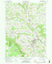
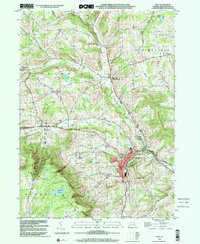
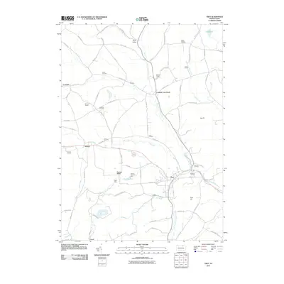
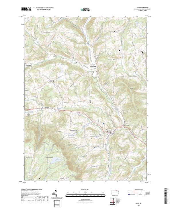
Editions of this 1938 Troy Map
Historical Maps of Troy Through Time
10 maps found
Featured Locations
Source Details
SourceU.S. Geological Survey
CopyrightPublic Domain