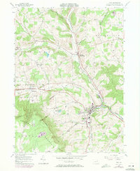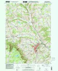
1999 Map of Troy
USGS Topo · Published 2001About this map
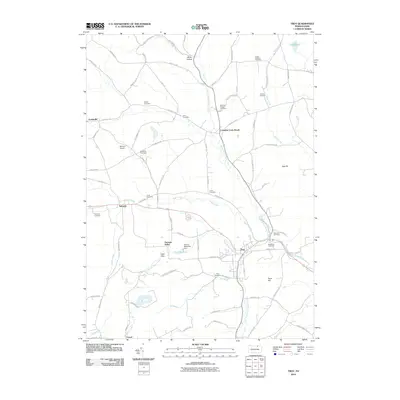
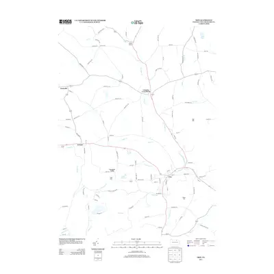
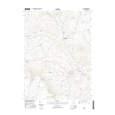
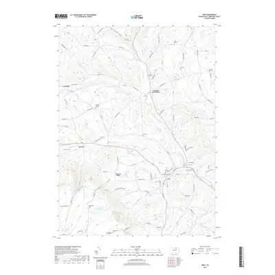
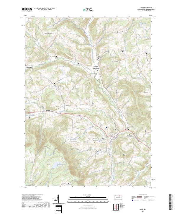
Troy serves as the focal point of this northern Pennsylvania landscape, where the confluence of Fall Brook and the South Branch Sugar Creek defines the local topography. At the end of the twentieth century, the town shows a developed core featuring the Croman Sch and Alparon Park, surrounded by a network of smaller rural communities like Columbia Cross Roads and Sylvania. The region's agricultural and social history is etched into the terrain through numerous family and community burial grounds, including the Besley Cem, Grover-Hill Cem, and Glenwood Cem. To the southwest, the rising slopes of Armenia Mountain and the Tamarack Swamp create a distinct natural boundary, while the Roosevelt Highway facilitates movement across the valley of Sugar Creek.
Find a feature on this map
42 named features on this map. Tap any name to fly to it.
Don’t see what you’re looking for? This feature index may not catch every label — zoom into the map to look around manually.
Map Details
Editions of this 1999 Troy Map
This is the sole edition of this map. No revisions or reprints were ever made.
Historical Maps of Troy Through Time
10 maps found