Loading...
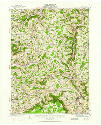
Loading map...1931 Map of Troy
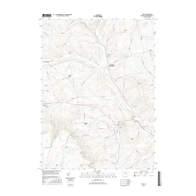
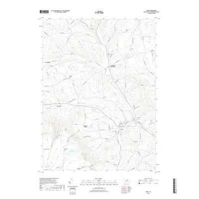
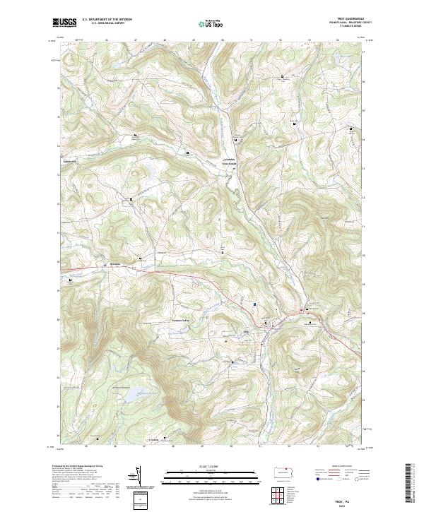
USGS Topo · Published 1961About this map
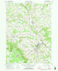
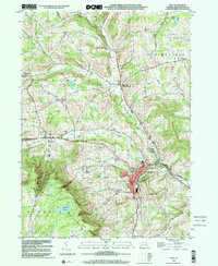
The northern border of Tioga and Bradford Counties meets the Pennsylvania-New York state line in this early 1930s landscape. The region is defined by a dense network of upland farms and valley settlements, connected by the Roosevelt Highway and the steel of the Erie RR and Pennsylvania RR. Major hubs like Troy and Columbia Cross Roads anchor a terrain of prominent heights including Pumpkin Hill and Benson Knob, while the rural interior is dotted with local institutions like the Baptist Hill Ch and the State Road Sch.
Find a feature on this map
73 named features on this map. Tap any name to fly to it.
Don’t see what you’re looking for? This feature index may not catch every label — zoom into the map to look around manually.
Map Details
Date Portrayed1931
Date Published1961
PublisherU.S. Geological Survey
Map TypeTopographic
Scale1:62,500
Physical Dimensions17 x 21 inches
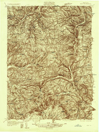
Editions of this 1931 Troy Map
2 editions found
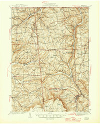
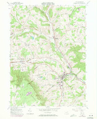
Historical Maps of Troy Through Time
10 maps found
Featured Locations
Source Details
SourceU.S. Geological Survey
CopyrightPublic Domain