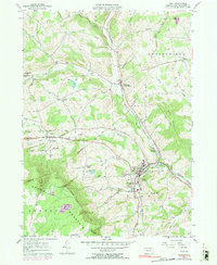
1983 Map of Troy
USGS Topo · Published 1991About this map
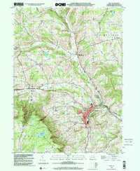
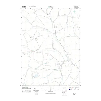
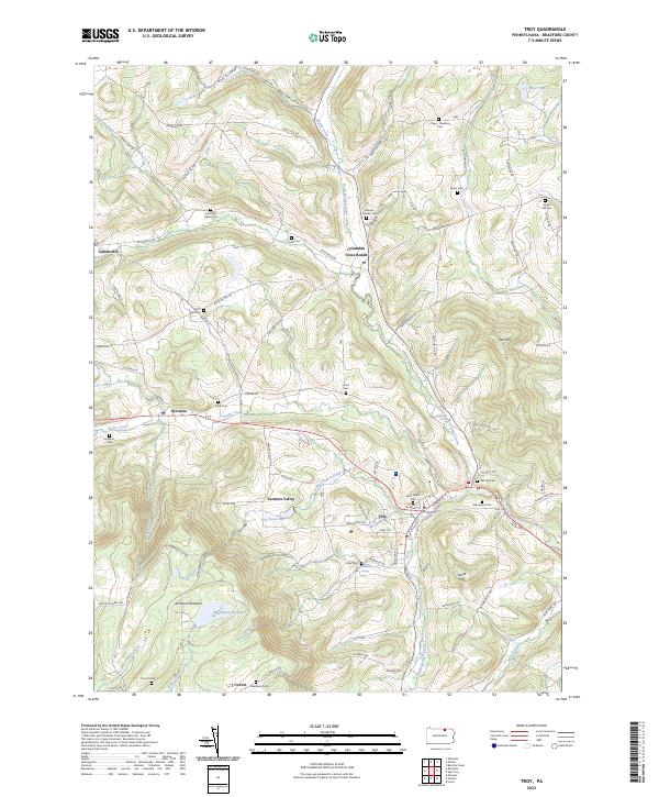
The Penn Central rail line follows the valley of the North Branch and South creeks, anchoring the industrial and agricultural corridors of Bradford County as they appeared in the early 1980s. The boro of Troy stands as the primary hub, where local education is centered at High Sch, Lloyd Sch, and Croman Sch. Surrounding the town, the landscape transitions from the broad flats of Sugar Creek to the steep rises of Armenia Mountain, featuring the distinctive Tamarack Swamp. The map provides a detailed view of several small rural communities, including Sylvania, Columbia Cross Roads, and Austinville. A high density of family-named burial grounds, such as Grover Hill Cem, Granite-Pierson Cem, and Besley Cem, indicates deep-rooted settlement patterns and offers significant value for genealogical research across this part of northern Pennsylvania.
Find a feature on this map
47 named features on this map. Tap any name to fly to it.
Don’t see what you’re looking for? This feature index may not catch every label — zoom into the map to look around manually.
Map Details
Editions of this 1983 Troy Map
This is the sole edition of this map. No revisions or reprints were ever made.
Historical Maps of Troy Through Time
10 maps found