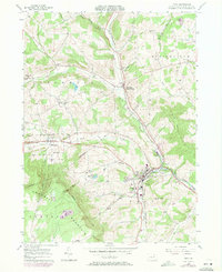
1957 Map of Troy
USGS Topo · Published 1971About this map
Sugar Creek winds through the heart of this Bradford County landscape, where the borough of Troy serves as a central hub for the surrounding dairy and farming country. The map illustrates a developed mid-century infrastructure, with the Penn Central railroad following the valley floor and the Roosevelt Highway connecting the smaller settlements of Sylvania and Columbia Cross Roads. To the south, the terrain rises sharply into the high ground of Armenia Mountain, featuring the unique ecological pocket of Tamarack Swamp. Local genealogy is well-supported by numerous family-named burial grounds, including the Bentley Cem and Grover Hill Cem, which dot the hillsides of Springfield and Columbia townships. The inclusion of Alparon Park and several local schools like Lloyd Sch highlights the established community centers of the era.
Find a feature on this map
44 named features on this map. Tap any name to fly to it.
Don’t see what you’re looking for? This feature index may not catch every label — zoom into the map to look around manually.
Map Details
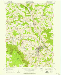
Editions of this 1957 Troy Map
2 editions found
Other maps of this area

1931 · Troy
USGS Topo · 1:48,000

1938 · Troy
USGS Topo · 1:62,500

1939 · Sayre
USGS Topo · 1:62,500

1942 · Sayre
USGS Topo · 1:62,500

1942 · Canton
USGS Topo · 1:62,500

1943 · Powell
USGS Topo · 1:62,500

1944 · Canton
USGS Topo · 1:62,500

1945 · Powell
USGS Topo · 1:62,500

1948 · Sayre
USGS Topo · 1:62,500

1953 · Roseville
USGS Topo · 1:24,000