Loading...
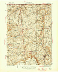
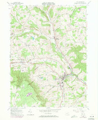
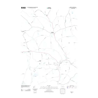
Loading map...1938 Map of Troy
USGS Topo · Published 1947About this map
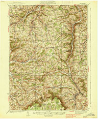
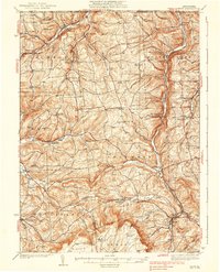
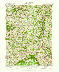
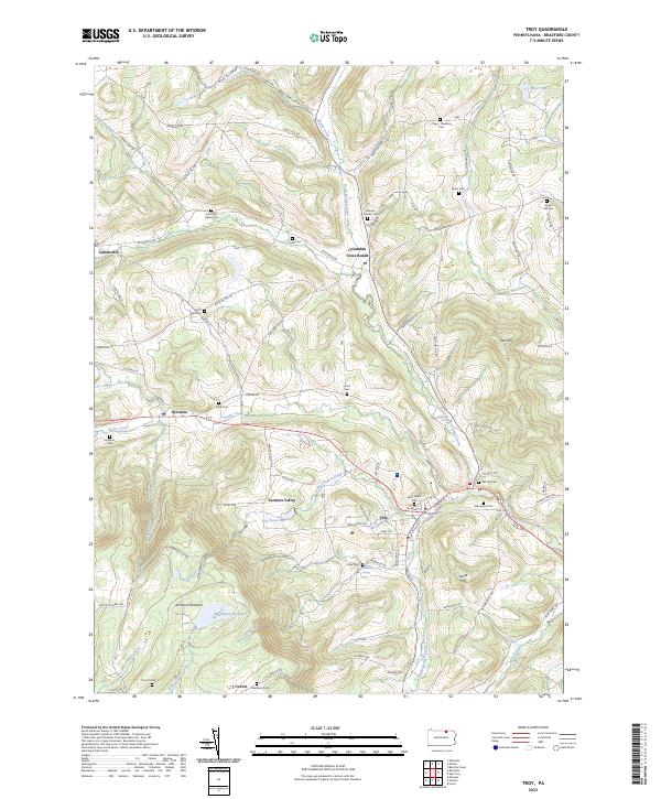
Armenia Mountain rises over the southern landscape of this northern Pennsylvania region, where the rural economies of Bradford and Tioga counties met during the 1930s. The settlement pattern is defined by small crossroads communities and rail stops, such as Snediker Sta along the Pennsylvania RR. This rail line served as a vital artery through the valley, connecting Gillett and Fassett toward the state line. Agriculture and local education are central to the map's detail, evidenced by numerous rural schoolhouses like Everett Sch and Wells Sch.
Find a feature on this map
76 named features on this map. Tap any name to fly to it.
Don’t see what you’re looking for? This feature index may not catch every label — zoom into the map to look around manually.
Map Details
Date Portrayed1938
Date Published1947
PublisherU.S. Geological Survey
Map TypeTopographic
Scale1:62,500
Physical Dimensions17 x 21 inches
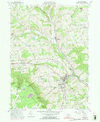
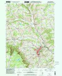
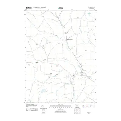
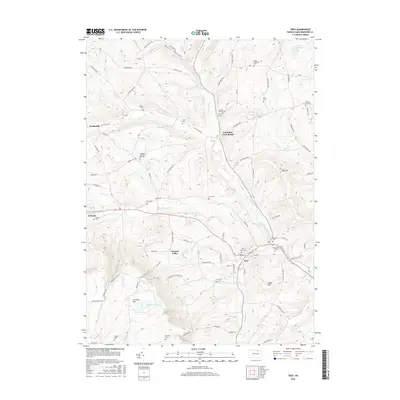
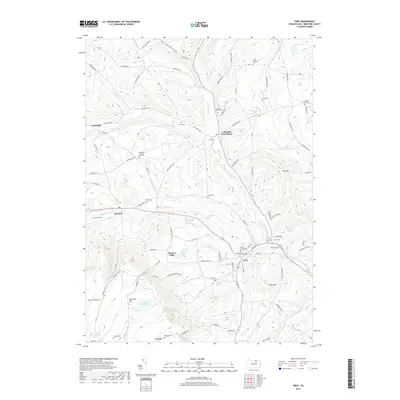
Editions of this 1938 Troy Map
Historical Maps of Troy Through Time
10 maps found
Featured Locations
Source Details
SourceU.S. Geological Survey
CopyrightPublic Domain