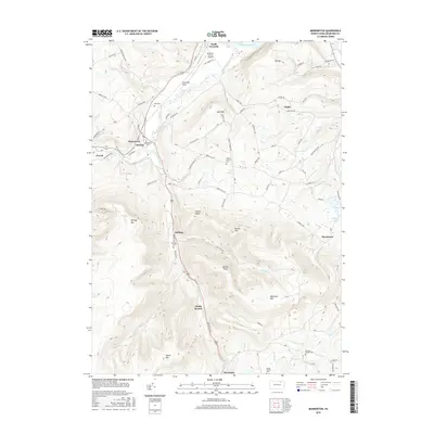
2016 Map of Monroeton
USGS Topo · Published 2016About this map
Towanda Creek and its tributary, the S Br Towanda Cr, define the drainage pattern of this Bradford County landscape. The valley floor is home to the concentrated settlements of Monroeton, Monroe, and Powell, while higher elevations are marked by distinctive peaks like Kellogg Mtn and Hale Mtn. The transport network shows a clear evolution, from the historic alignment of the Berwick Tpke to the modern Bradford County Airport situated on the Towanda Flats near South Towanda.
Find a feature on this map
77 named features on this map. Tap any name to fly to it.
Don’t see what you’re looking for? This feature index may not catch every label — zoom into the map to look around manually.
Map Details
Editions of this 2016 Monroeton Map
This is the sole edition of this map. No revisions or reprints were ever made.
Other maps of this area

1923 · Towanda
USGS Topo · 1:62,500

1926 · Towanda
USGS Topo · 1:62,500

1939 · Sayre
USGS Topo · 1:62,500

1942 · Sayre
USGS Topo · 1:62,500

1943 · Towanda
USGS Topo · 1:62,500

1943 · Monroeton
USGS Topo · 1:62,500

1943 · Powell
USGS Topo · 1:62,500

1945 · Powell
USGS Topo · 1:62,500

1948 · Sayre
USGS Topo · 1:62,500

1954 · Williamsport
USGS Topo · 1:250,000
Featured Places
- Wysox Township, PA
- Asylum Township, PA
- Towanda Township, PA
- South Branch, Monroe Township
- Albany Township, PA