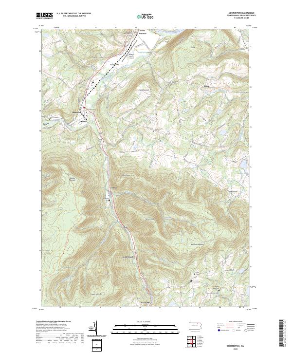
2023 Map of Monroeton
USGS Topo · Published 2023About this map
Monroeton and Powell anchor the northwestern portion of this Bradford County landscape, where Towanda Creek winds through the broad Towanda Flats. The terrain rises sharply away from the valley floor toward high points like Hatch Mountain and Robwood Mountain, defining a region where roads often follow the ridge lines or the narrow creek beds. Several family and community burial grounds, including Cole Cem and the Corbin - King Cem, are scattered across the uplands, offering significant points of interest for genealogical research.
Find a feature on this map
89 named features on this map. Tap any name to fly to it.
Don’t see what you’re looking for? This feature index may not catch every label — zoom into the map to look around manually.
Map Details
Editions of this 2023 Monroeton Map
This is the sole edition of this map. No revisions or reprints were ever made.
Other maps of this area

1923 · Towanda
USGS Topo · 1:62,500

1926 · Towanda
USGS Topo · 1:62,500

1939 · Sayre
USGS Topo · 1:62,500

1942 · Sayre
USGS Topo · 1:62,500

1943 · Towanda
USGS Topo · 1:62,500

1943 · Monroeton
USGS Topo · 1:62,500

1943 · Powell
USGS Topo · 1:62,500

1945 · Powell
USGS Topo · 1:62,500

1948 · Sayre
USGS Topo · 1:62,500

1954 · Williamsport
USGS Topo · 1:250,000
Featured Places
- Wysox Township, PA
- Asylum Township, PA
- Towanda Township, PA
- South Branch, Monroe Township
- Marshview, Asylum Township