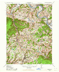
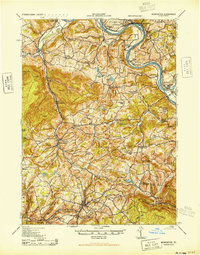
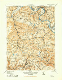
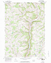
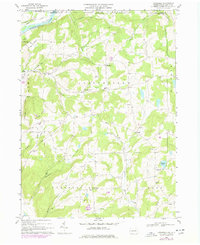
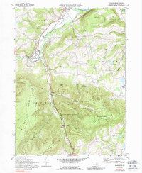
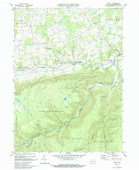
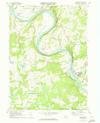
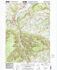
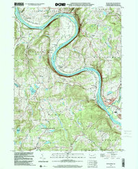
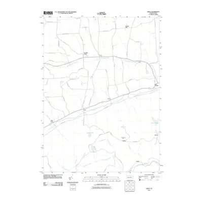
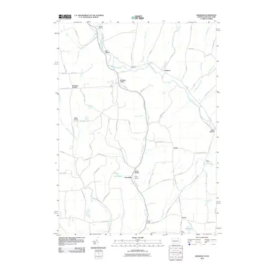
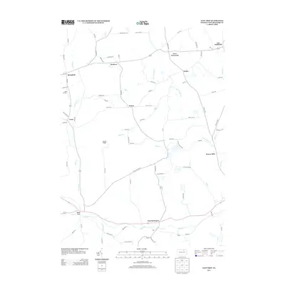
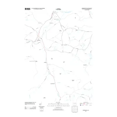
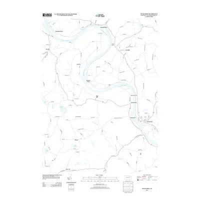
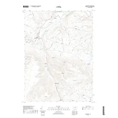
1943 Map of Monroeton
USGS Topo · Published 1964About this map
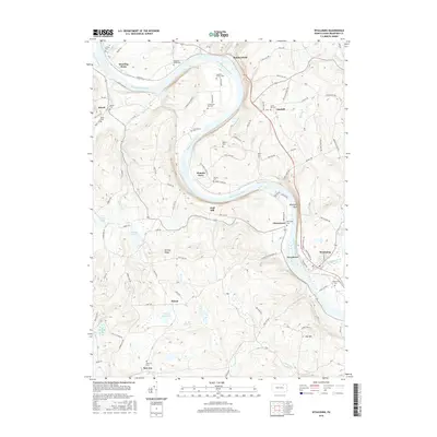
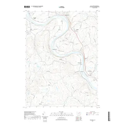
The Susquehanna River carves a dramatic oxbow through this region, where the historic settlement of Asylum and the French Asylum Church stand as reminders of early pioneer attempts to tame the valley. In the 1940s, the landscape was a mosaic of high ridges and narrow creek valleys, with the Lehigh Valley railroad following the path of Towanda Creek toward Monroeton. This survey captures a rural network of small-scale agriculture and community hubs, evidenced by family-named landmarks like Coyles Corners and Limehill.
Find a feature on this map
84 named features on this map. Tap any name to fly to it.
Don’t see what you’re looking for? This feature index may not catch every label — zoom into the map to look around manually.
Map Details
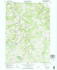
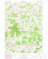
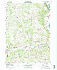
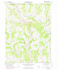
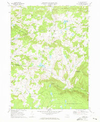
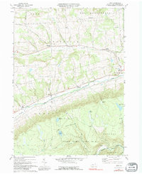
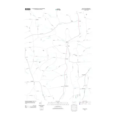
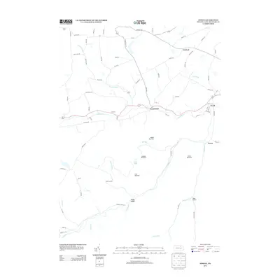
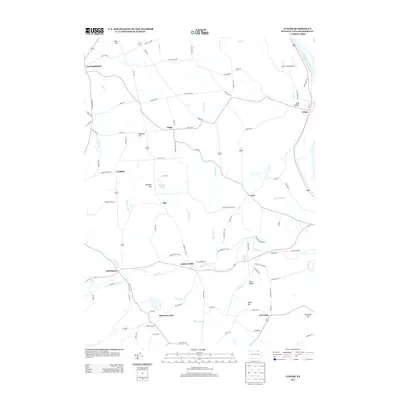
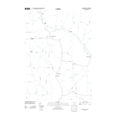
Editions of this 1943 Monroeton Map
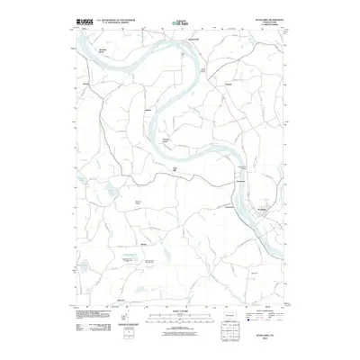
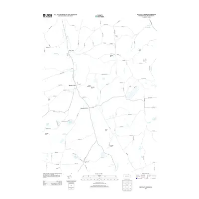
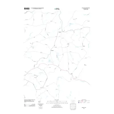
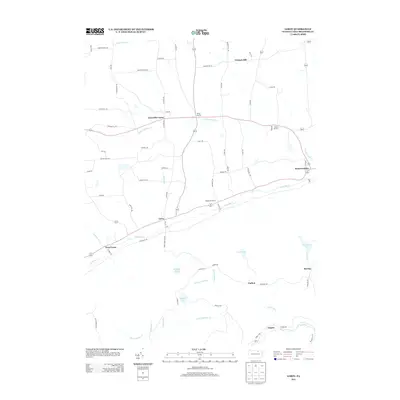
Historical Maps of Wysox Township Through Time
71 maps found
1943 Monroeton
Bradford County, PA
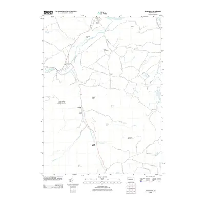
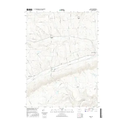
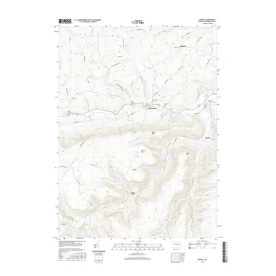
1943 Powell
Bradford County, PA

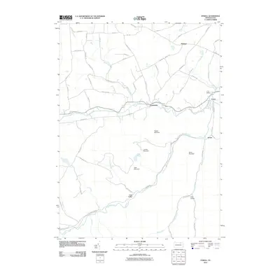
1945 Powell
Bradford County, PA
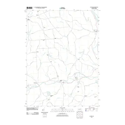
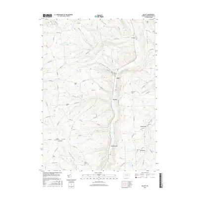
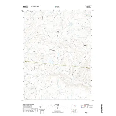
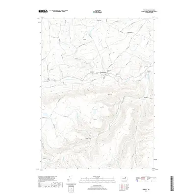
1954 Gillett
Bradford County, PA
1957 Bentley Creek
Bradford County, PA
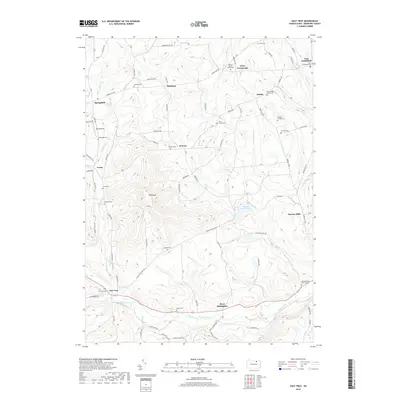
1957 East Troy
Bradford County, PA
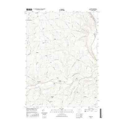
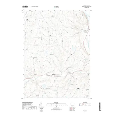
1957 Ulster
Bradford County, PA
1967 Litchfield
Bradford County, PA
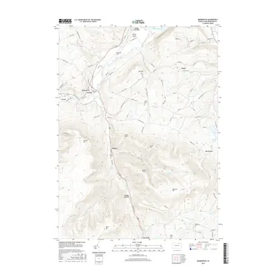
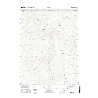
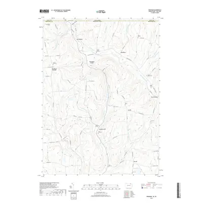
1967 Windham
Bradford County, PA
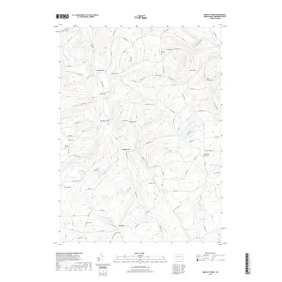
1969 Colley
Bradford County, PA
1969 Leroy
Bradford County, PA
1969 Monroeton
Bradford County, PA
1969 Powell
Bradford County, PA
1969 Wyalusing
Bradford County, PA
1999 Monroeton
Bradford County, PA
1999 Wyalusing
Bradford County, PA
2010 Bentley Creek
Bradford County, PA
2010 Colley
Bradford County, PA
2010 East Troy
Bradford County, PA

2010 Gillett
Bradford County, PA
2010 Leroy
Bradford County, PA

2010 Litchfield
Bradford County, PA
2010 Monroeton
Bradford County, PA
2010 Powell
Bradford County, PA
2010 Ulster
Bradford County, PA
2010 Windham
Bradford County, PA
2010 Wyalusing
Bradford County, PA
2013 Bentley Creek
Bradford County, PA
2013 Colley
Bradford County, PA
2013 East Troy
Bradford County, PA
2013 Gillett
Bradford County, PA
2013 Leroy
Bradford County, PA
2013 Litchfield
Bradford County, PA
2013 Monroeton
Bradford County, PA
2013 Powell
Bradford County, PA
2013 Ulster
Bradford County, PA
2013 Windham
Bradford County, PA
2013 Wyalusing
Bradford County, PA
2016 Bentley Creek
Bradford County, PA
2016 Colley
Bradford County, PA
2016 East Troy
Bradford County, PA
2016 Gillett
Bradford County, PA
2016 Leroy
Bradford County, PA
2016 Litchfield
Bradford County, PA
2016 Monroeton
Bradford County, PA
2016 Powell
Bradford County, PA
2016 Ulster
Bradford County, PA
2016 Windham
Bradford County, PA
2016 Wyalusing
Bradford County, PA
2019 Bentley Creek
Bradford County, PA
2019 Colley
Bradford County, PA
2019 East Troy
Bradford County, PA

2019 Gillett
Bradford County, PA

2019 Leroy
Bradford County, PA

2019 Litchfield
Bradford County, PA
2019 Monroeton
Bradford County, PA
2019 Powell
Bradford County, PA
2019 Ulster
Bradford County, PA
2019 Windham
Bradford County, PA
2019 Wyalusing
Bradford County, PA
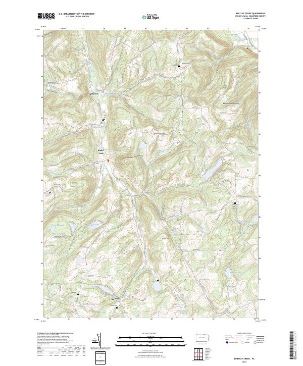
2023 Bentley Creek
Bradford County, PA
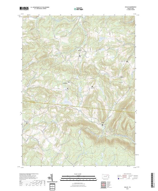
2023 Colley
Bradford County, PA
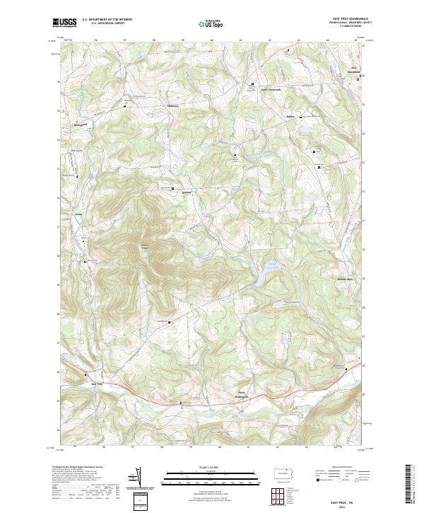
2023 East Troy
Bradford County, PA
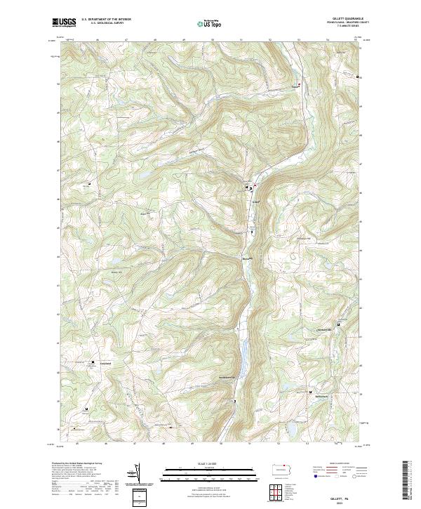
2023 Gillett
Bradford County, PA
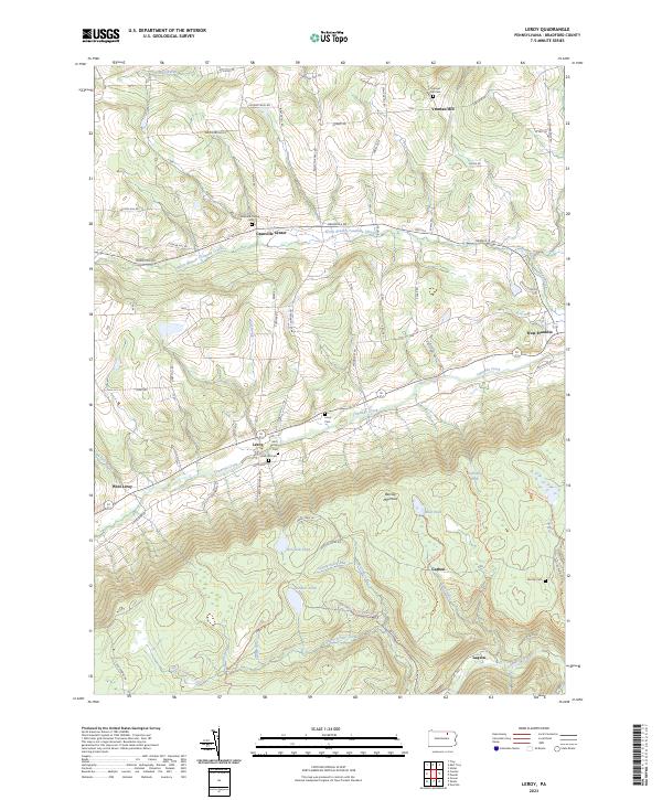
2023 Leroy
Bradford County, PA
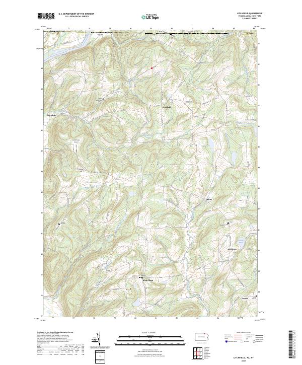
2023 Litchfield
Bradford County, PA
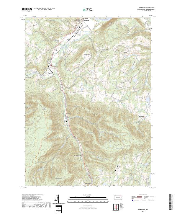
2023 Monroeton
Bradford County, PA
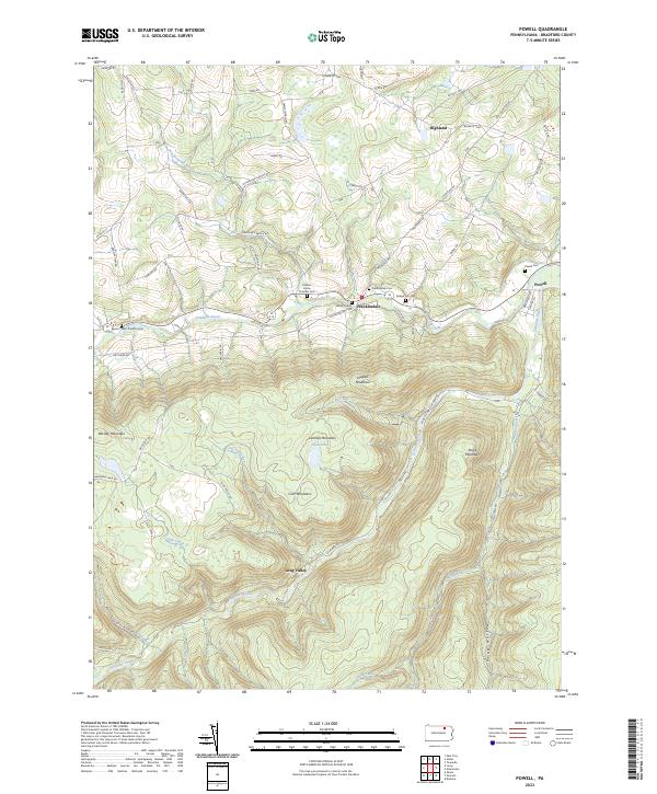
2023 Powell
Bradford County, PA
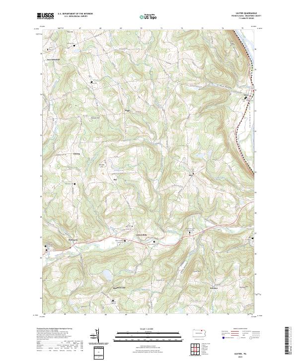
2023 Ulster
Bradford County, PA
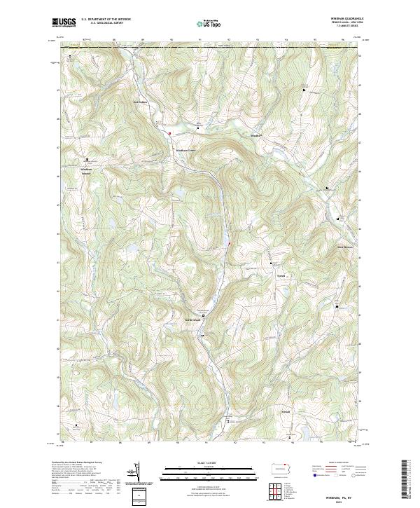
2023 Windham
Bradford County, PA
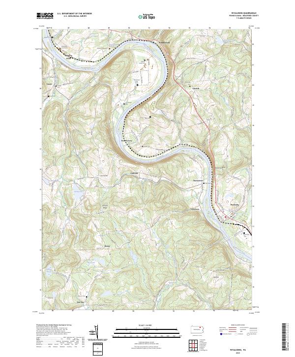
2023 Wyalusing
Bradford County, PA
Featured Locations
- Colley Township, PA
- Asylum Township, PA
- Wilmot Township, PA
- Standing Stone Township, PA
- Wysox Township, PA