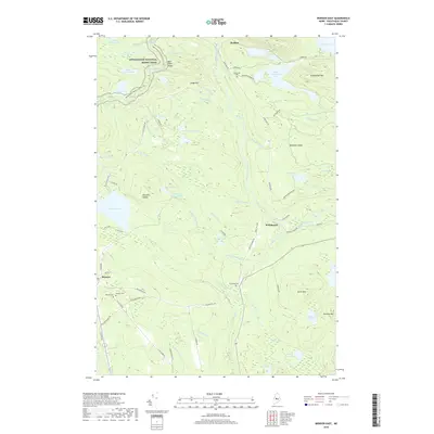
2018 Map of Monson East
USGS Topo · Published 2018About this map
The Appalachian National Scenic Trail winds through the northern elevations of this Piscataquis County landscape, passing landmarks like Bear Pond Ledge and Juniper Knee Bog. To the south, the settlement of Monson serves as a hub for the local slate industry, evidenced by the presence of the Eighteen Quarry Pond and roads such as Hillside Quarry Rd and Farm Quarry Rd. These features reflect a history of extraction that shaped the town's development and its transportation network, including the Narrow Gauge N corridor.
Find a feature on this map
82 named features on this map. Tap any name to fly to it.
Don’t see what you’re looking for? This feature index may not catch every label — zoom into the map to look around manually.
Map Details
Editions of this 2018 Monson East Map
This is the sole edition of this map. No revisions or reprints were ever made.
Other maps of this area

1933 · Guilford
USGS Topo · 1:62,500

1937 · Guilford
USGS Topo · 1:62,500

1948 · Kingsbury
USGS Topo · 1:62,500

1950 · Kingsbury
USGS Topo · 1:62,500

1950 · Sebec Lake
USGS Topo · 1:62,500

1951 · Greenville
USGS Topo · 1:62,500

1954 · Millinocket
USGS Topo · 1:250,000

1958 · Millinocket
USGS Topo · 1:250,000

1960 · Millinocket
USGS Topo · 1:250,000

1975 · Kingsbury NE
USGS Topo · 1:24,000