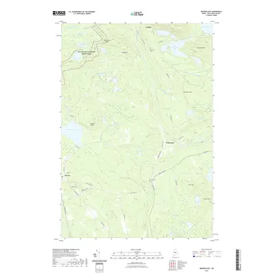
2021 Map of Monson East
USGS Topo · Published 2021About this map
Appalachian National Scenic Trail winds through the high ground of northern Maine, crossing the rugged terrain between Bodfish and the settlement of Monson. This 2021 survey reveals a landscape defined by industrial history and natural topography, where Eighteen Quarry Pond and Farm Quarry RD hint at the slate quarrying heritage that once anchored the local economy. The network of backroads, such as Norton Corner RD and Tobey Falls RD, connects scattered residential clusters and historical burial grounds including Riverside Cem and Elliottsville Cem. In the village of Willimantic, the road system centers on the junction near Badger Pond, while the surrounding forest is punctuated by significant water bodies like Onawa Lake and Little Wilson Pond. These features illustrate the enduring relationship between small-town infrastructure and the wilderness of Piscataquis County.
Find a feature on this map
60 named features on this map. Tap any name to fly to it.
Don’t see what you’re looking for? This feature index may not catch every label — zoom into the map to look around manually.
Map Details
Editions of this 2021 Monson East Map
This is the sole edition of this map. No revisions or reprints were ever made.
Other maps of this area

1933 · Guilford
USGS Topo · 1:62,500

1937 · Guilford
USGS Topo · 1:62,500

1948 · Kingsbury
USGS Topo · 1:62,500

1950 · Kingsbury
USGS Topo · 1:62,500

1950 · Sebec Lake
USGS Topo · 1:62,500

1951 · Greenville
USGS Topo · 1:62,500

1954 · Millinocket
USGS Topo · 1:250,000

1958 · Millinocket
USGS Topo · 1:250,000

1960 · Millinocket
USGS Topo · 1:250,000

1975 · Kingsbury NE
USGS Topo · 1:24,000