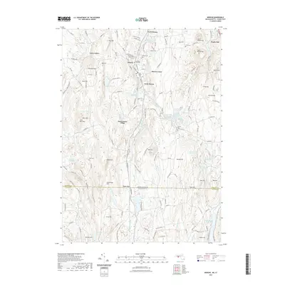
2021 Map of Monson
USGS Topo · Published 2021About this map
The Massachusetts-Connecticut border divides this 2021 landscape, defined by the concentrated settlement of Monson in the north and the expansive Staffordville Reservoir in the south. The topography is dominated by a series of north-south ridges, including Peaked Mountain and Rattlesnake Hill, which separate the various brook valleys. Industrial history remains etched into the place names, such as South Factory Village, while numerous burial grounds like Bethany Cemetery and Hillside Cemetery provide significant points of interest for genealogical research.
Find a feature on this map
153 named features on this map. Tap any name to fly to it.
Don’t see what you’re looking for? This feature index may not catch every label — zoom into the map to look around manually.
Map Details
Editions of this 2021 Monson Map
This is the sole edition of this map. No revisions or reprints were ever made.
Other maps of this area

1887 · Brookfield
USGS Topo · 1:62,500

1887 · Palmer
USGS Topo · 1:62,500

1889 · Palmer
USGS Topo · 1:62,500

1890 · Brookfield
USGS Topo · 1:62,500

1892 · Woodstock
USGS Topo · 1:62,500

1892 · Tolland
USGS Topo · 1:62,500

1893 · Palmer
USGS Topo · 1:62,500

1893 · Brookfield
USGS Topo · 1:62,500

1908 · Ware
USGS Topo · 1:125,000

1915 · Brookfield
USGS Topo · 1:62,500