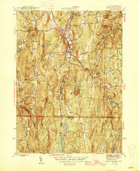
1946 Map of Monson
USGS Topo · Published 1946About this map
The Central Vermont railroad follows the narrow valley of the Chicopee River through the heart of the region, anchoring the settlements of Monson, North Monson, and South Monson. This mid-century survey illustrates a landscape shaped by both early industry and public works, featuring a quarry near the village and the Brimfield CCC Camp, noted here as already out of service after the Great Depression.
Find a feature on this map
55 named features on this map. Tap any name to fly to it.
Don’t see what you’re looking for? This feature index may not catch every label — zoom into the map to look around manually.
Map Details
Editions of this 1946 Monson Map
This is the sole edition of this map. No revisions or reprints were ever made.
Other maps of this area

1887 · Brookfield
USGS Topo · 1:62,500

1887 · Palmer
USGS Topo · 1:62,500

1889 · Palmer
USGS Topo · 1:62,500
1890 · Brookfield
USGS Topo · 1:62,500
1892 · Woodstock
USGS Topo · 1:62,500
1892 · Tolland
USGS Topo · 1:62,500
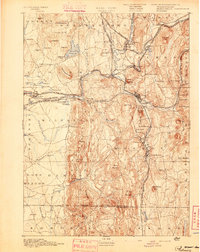
1893 · Palmer
USGS Topo · 1:62,500
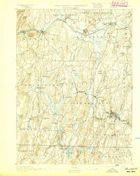
1893 · Brookfield
USGS Topo · 1:62,500
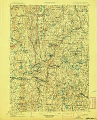
1908 · Ware
USGS Topo · 1:125,000
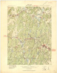
1915 · Brookfield
USGS Topo · 1:62,500