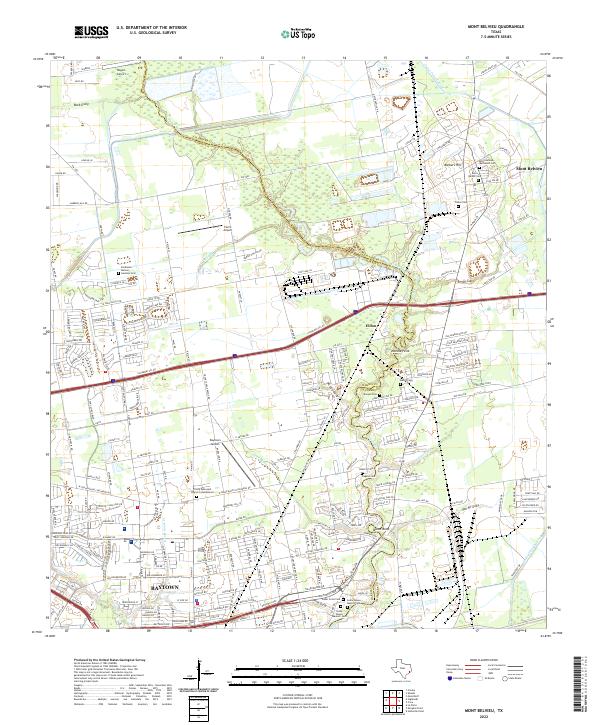
2022 Map of Mont Belvieu
USGS Topo · Published 2022About this map
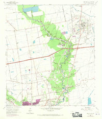
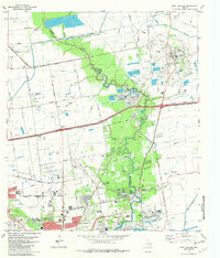
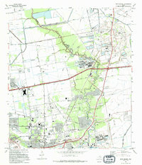
Cedar Bayou meanders along the county line between Chambers and Harris, anchoring a landscape where industrial infrastructure and historical sites coincide. This modern survey reveals the intense development surrounding the Barbers Hill salt dome, a geologic feature that has defined the local economy and geography for decades. Settlement patterns are evident in the northward expansion of Baytown and the established footprint of Mont Belvieu, while smaller locales like Eldon and Milam Bend mark the transitional spaces between residential neighborhoods and the bayou's riparian edge.
Find a feature on this map
212 named features on this map. Tap any name to fly to it.
Don’t see what you’re looking for? This feature index may not catch every label — zoom into the map to look around manually.
Map Details
Editions of this 2022 Mont Belvieu Map
This is the sole edition of this map. No revisions or reprints were ever made.
Historical Maps of Baytown Through Time
8 maps found