
1920 Map of Highlands
USGS Topo · Published 1920About this map
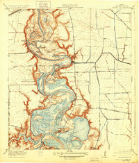
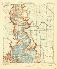
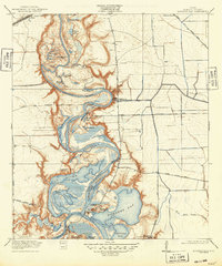
San Jacinto Battlefield anchors the southern landscape of this 1916 survey, sitting at the historic confluence where the Buffalo Bayou Ship Channel meets the San Jacinto River. The area is a complex network of bayous and oxbow lakes, including Lost Lake and Bear Creek, which reveal the shifting hydrology of the Texas coast before modern industrial expansion. The settlement of Lynchburg serves as a local hub, featuring the Lynchburg School and an Oil Pumping Station, signaling the era's emerging petroleum infrastructure.
Find a feature on this map
57 named features on this map. Tap any name to fly to it.
Don’t see what you’re looking for? This feature index may not catch every label — zoom into the map to look around manually.
Map Details
Editions of this 1920 Highlands Map
4 editions found
Other maps of this area

1915 · Deepwater
USGS Topo · 1:24,000

1916 · Burnett Bay
USGS Topo · 1:24,000

1916 · Crosby
USGS Topo · 1:24,000

1916 · Morgan Point
USGS Topo · 1:24,000

1916 · Fauna
USGS Topo · 1:24,000

1916 · Harmaston
USGS Topo · 1:24,000

1916 · Cedar Bayou
USGS Topo · 1:24,000

1916 · La Porte
USGS Topo · 1:24,000

1919 · Morgan Point
USGS Topo · 1:31,680

1919 · Deepwater
USGS Topo · 1:31,680