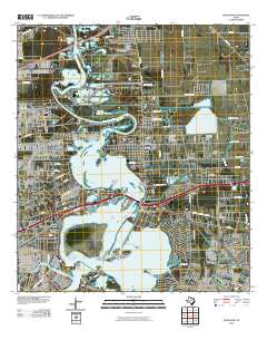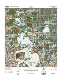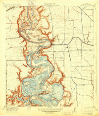
1920 Map of Highlands
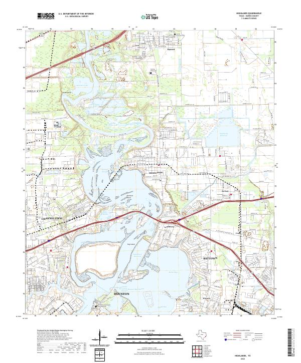
USGS Topo · Published 1928About this map
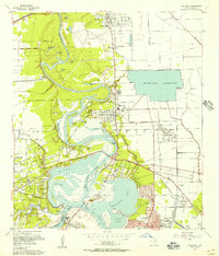
The San Jacinto Battlefield stands as a prominent historical anchor at the southern edge of this survey, marking the confluence where the San Jacinto River meets the Buffalo Bayou Ship Channel. This 1916 survey, published just after the first World War, captures a low-lying riparian landscape of oxbow lakes and tidal marshes before heavy industrialization reshaped the Houston ship channel corridor. Settlements like Lynchburg and Elena are depicted alongside critical early infrastructure, including the Oil Pumping Station and McCombs Ferry. The intricate network of water bodies such as Lost Lake, Burnett Bay, and Horseshoe Lake illustrates the complex drainage of the coastal plain. Rural life is evidenced by small schoolhouses like Clawson School and Carpenters Bayou School, while the S P System Houston and N O RR and the Houston and Wallisville Road suggest the emerging transportation arteries connecting these bayou communities to the growing city of Houston.
Find a feature on this map
50 named features on this map. Tap any name to fly to it.
Don’t see what you’re looking for? This feature index may not catch every label — zoom into the map to look around manually.
Map Details
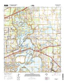
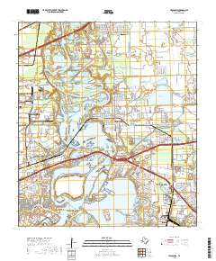
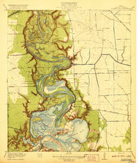
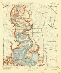
Editions of this 1920 Highlands Map
4 editions found

Historical Maps of Houston Through Time
9 maps found